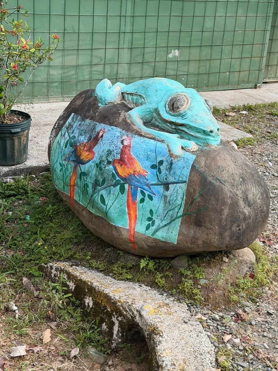
Hiking the Camino de Costa Rica
From January 26 – February 4, 2026, I hiked the Camino de Costa Rica.
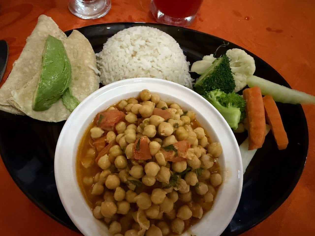
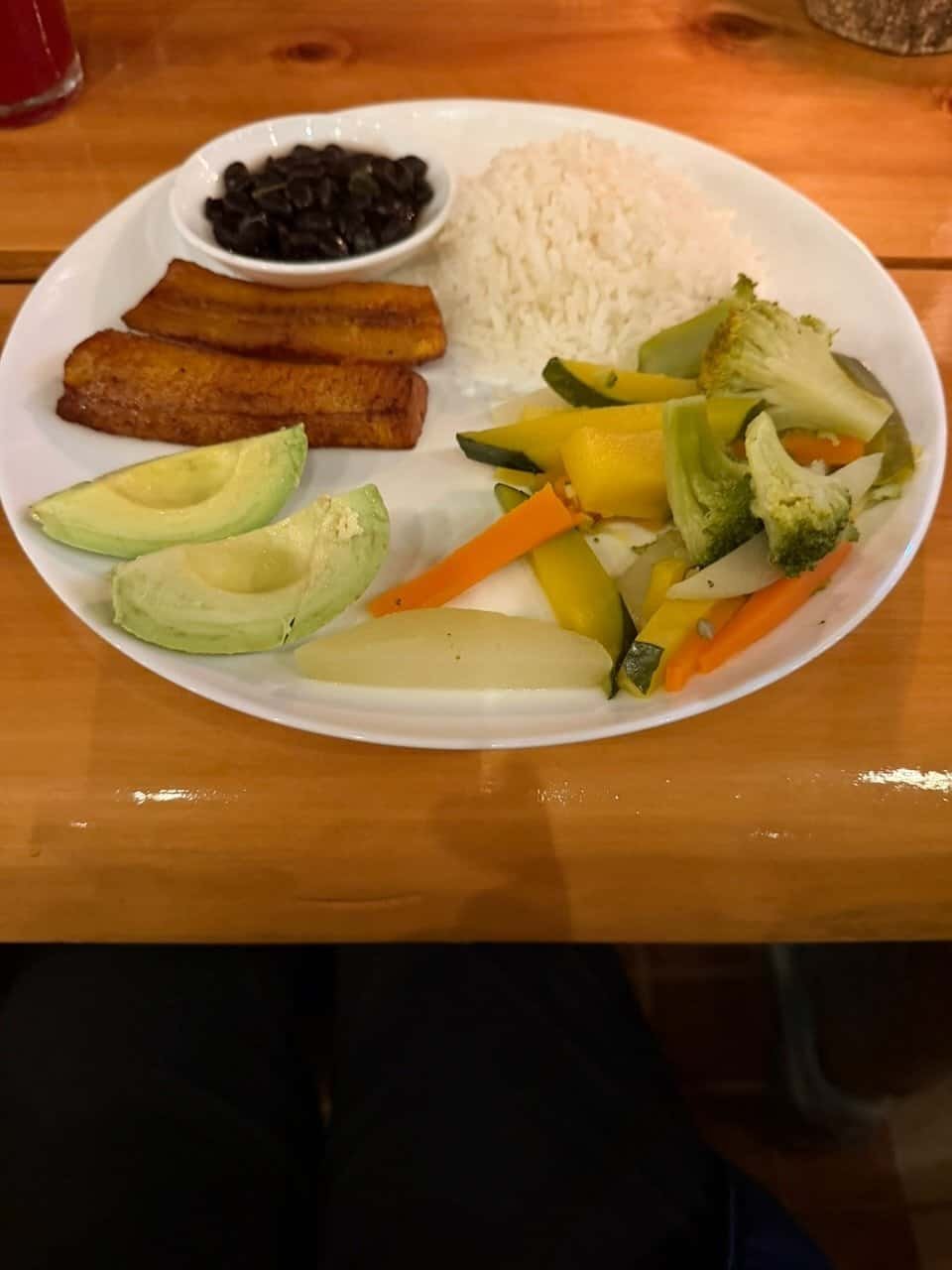
I had never heard of this hike until I saw a post from Emma, owner of Vegan Adventure Holidays, about her group completing the hike. Though I’ve done some hiking (as you can see from my posts about hiking Acatenango, Toliman, and Atitlan volcanoes) this was a completely different type of hike. Something in me, without warning or logic, said “I want to do that!” One of the reasons to go with Vegan Adventure Holidays was that I knew I would get great vegan food without having to think about it. I prefer to support vegan travel companies when I can.
Let me set the stage: I hadn’t done a long distance hike since college, which was a very long time ago. I’d never hiked this distance before. I’d only hiked in the dark once (on Mount Batur in Bali, four years ago). I’d never hiked in the rain before. My knees were trashed doing martial arts in my late 30s and through my 40s, and an arthroscopic debridement left me with little connective tissue in my knees. I hike very slowly on descents. Oh, and I’d be turning 66 a month before the start of the hike.
Yeah, I signed up anyway. It was April, 2025.
Why the Camino de Costa Rica?
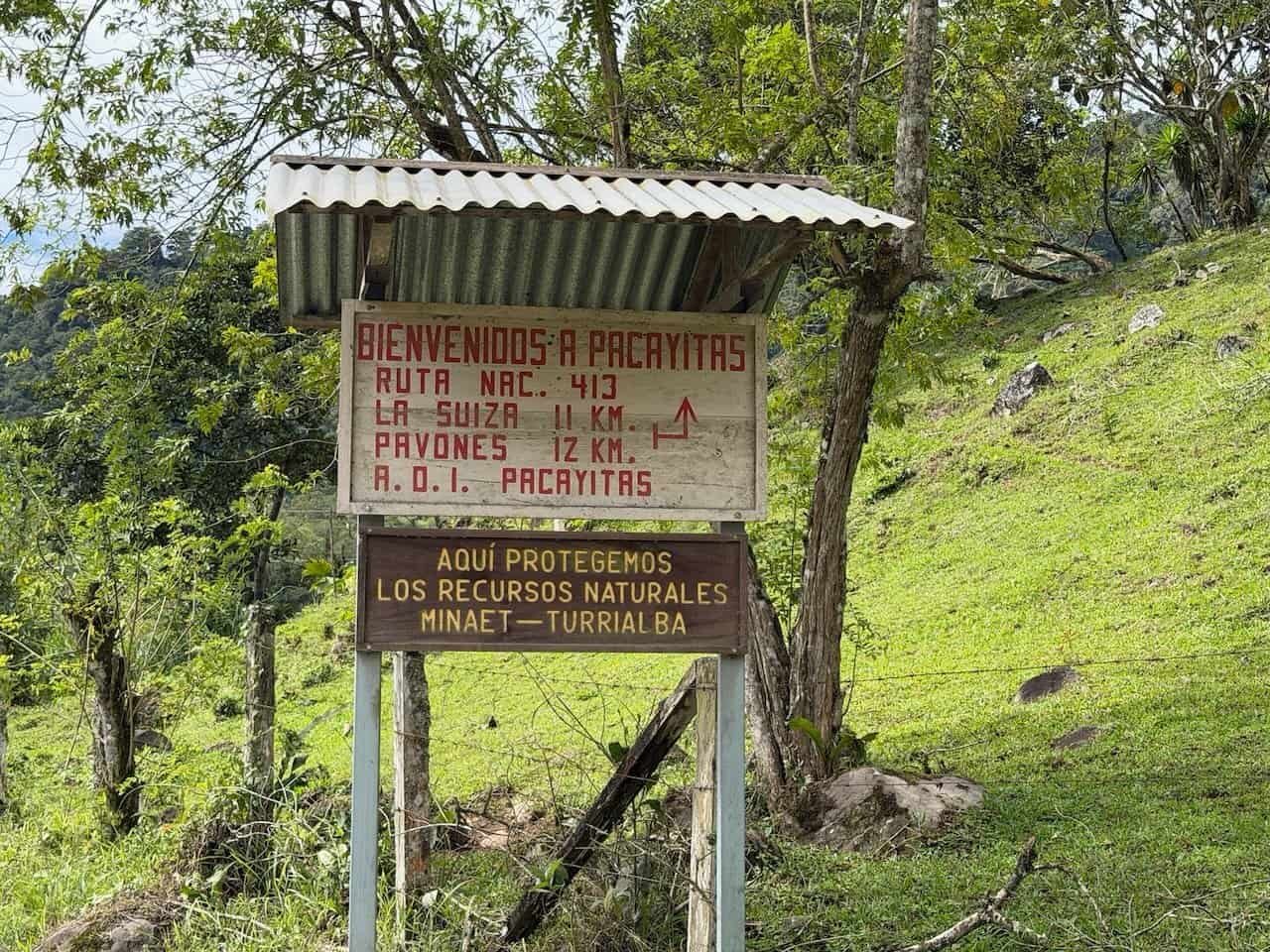
The Camino de Costa Rica is a relatively new hike: the initial hikes by guides were in 2018. It was refined in 2019, and then COVID hit. Few people knew of the trail until 2021, and even now it isn’t well-known.
The purpose of the trail was to bring development to rural and indigenous communities outside of the major tourist destinations on the coast while promoting conservation through low-impact travel. The vision included a trail that would be a pilgrimage like the Camino de Santiago, but somewhat more challenging and with a more varied landscape.
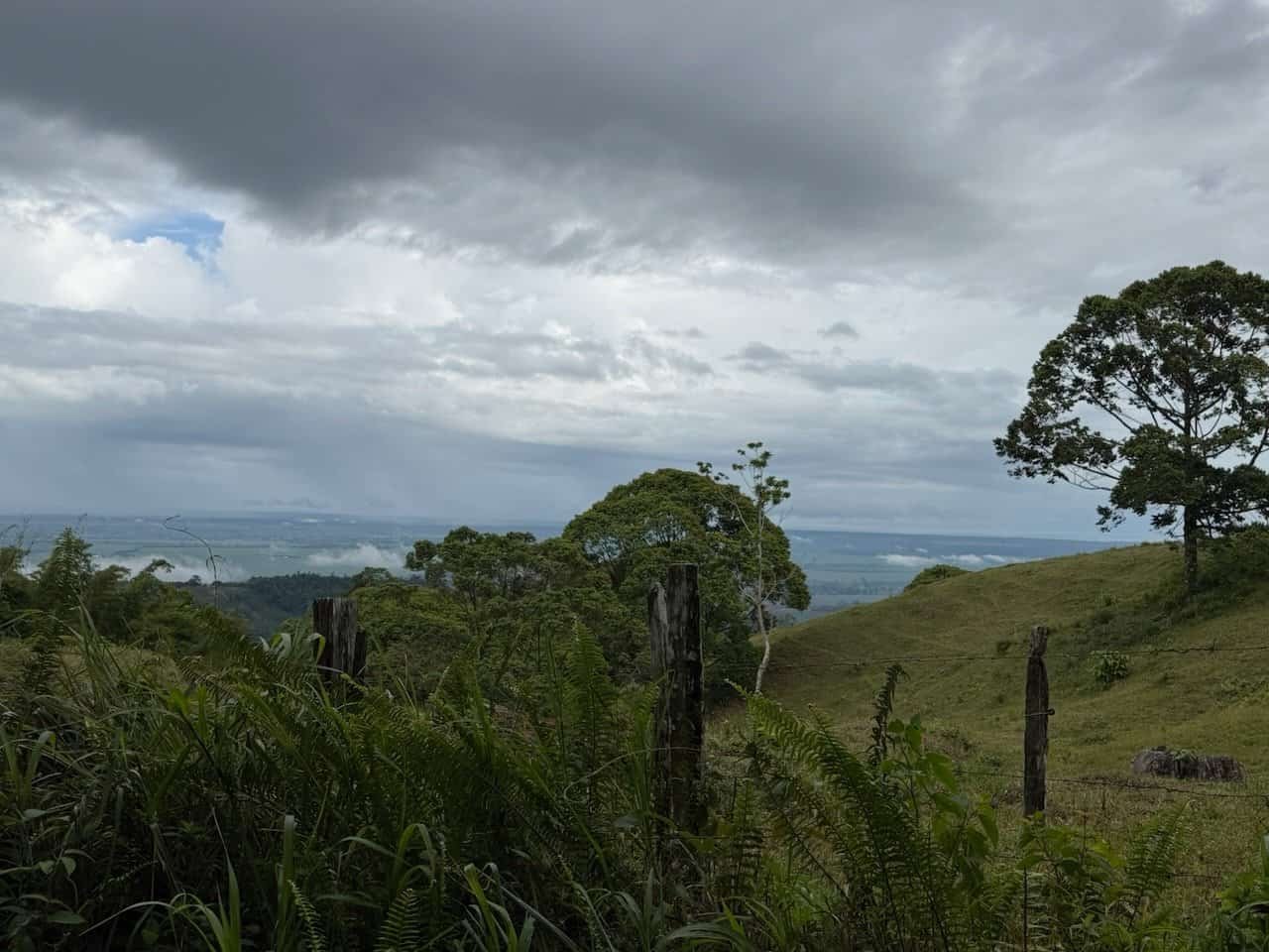
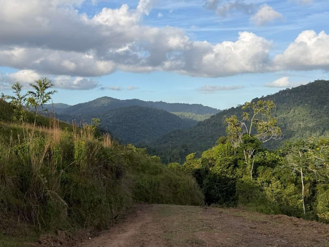
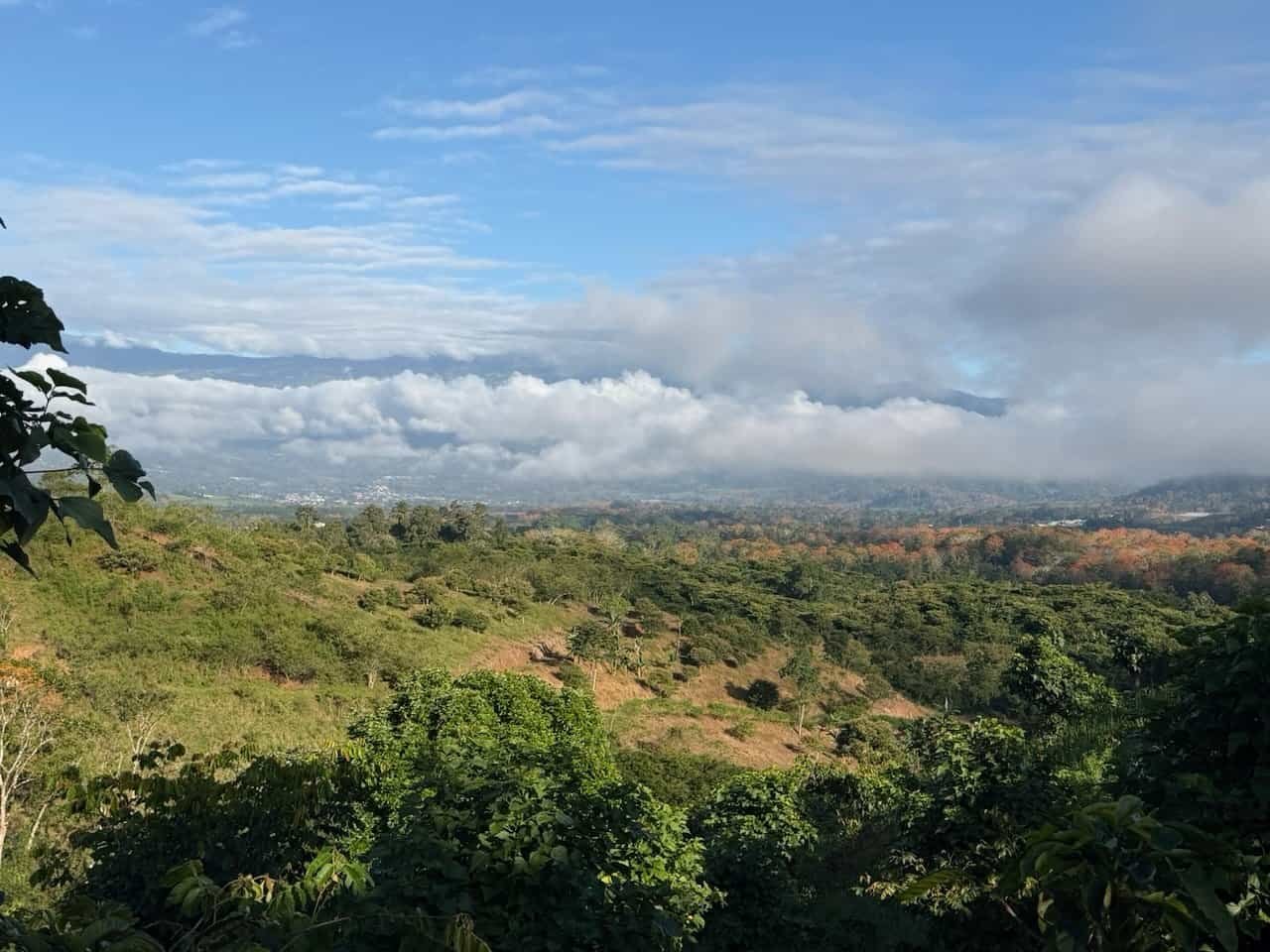
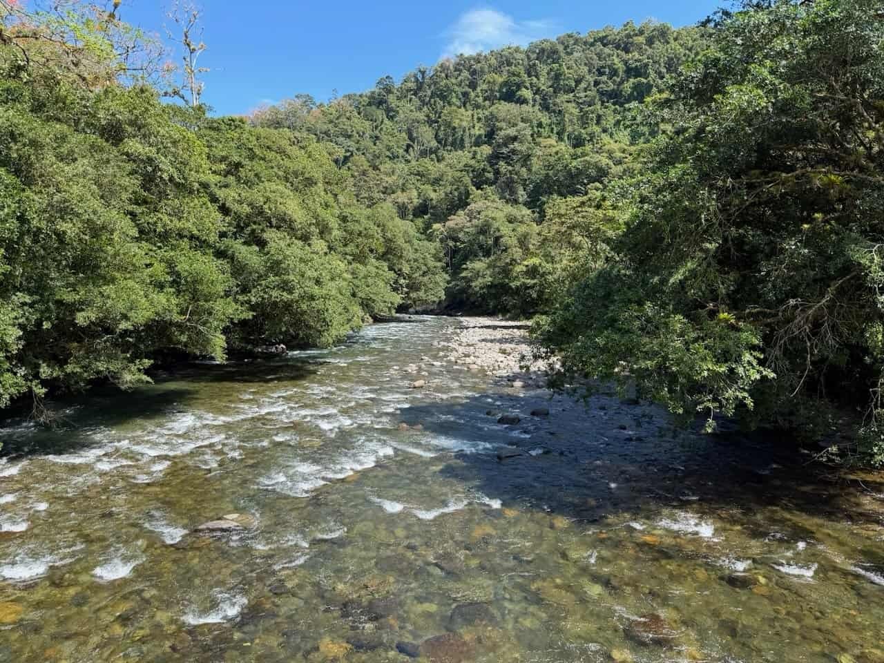
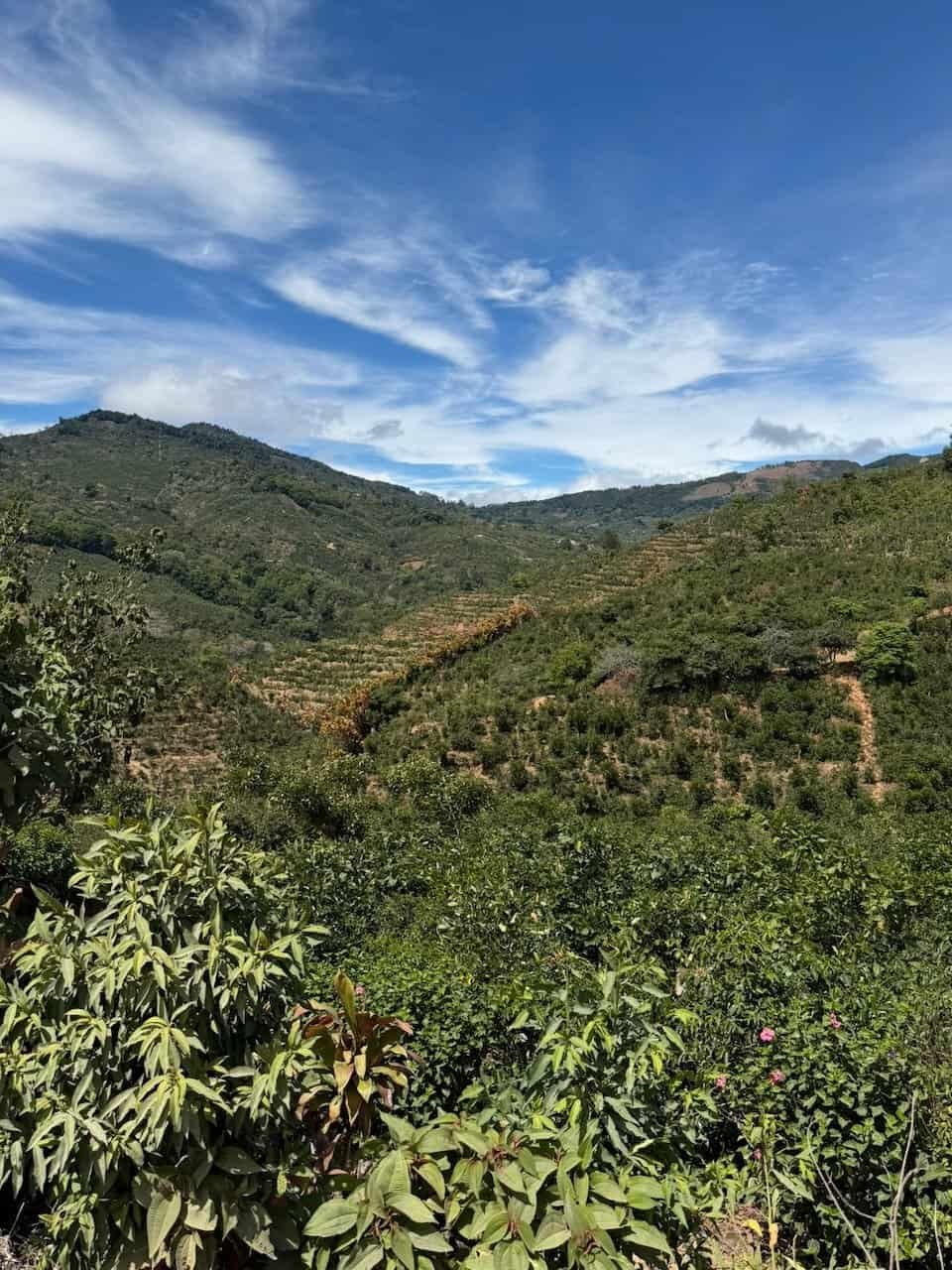
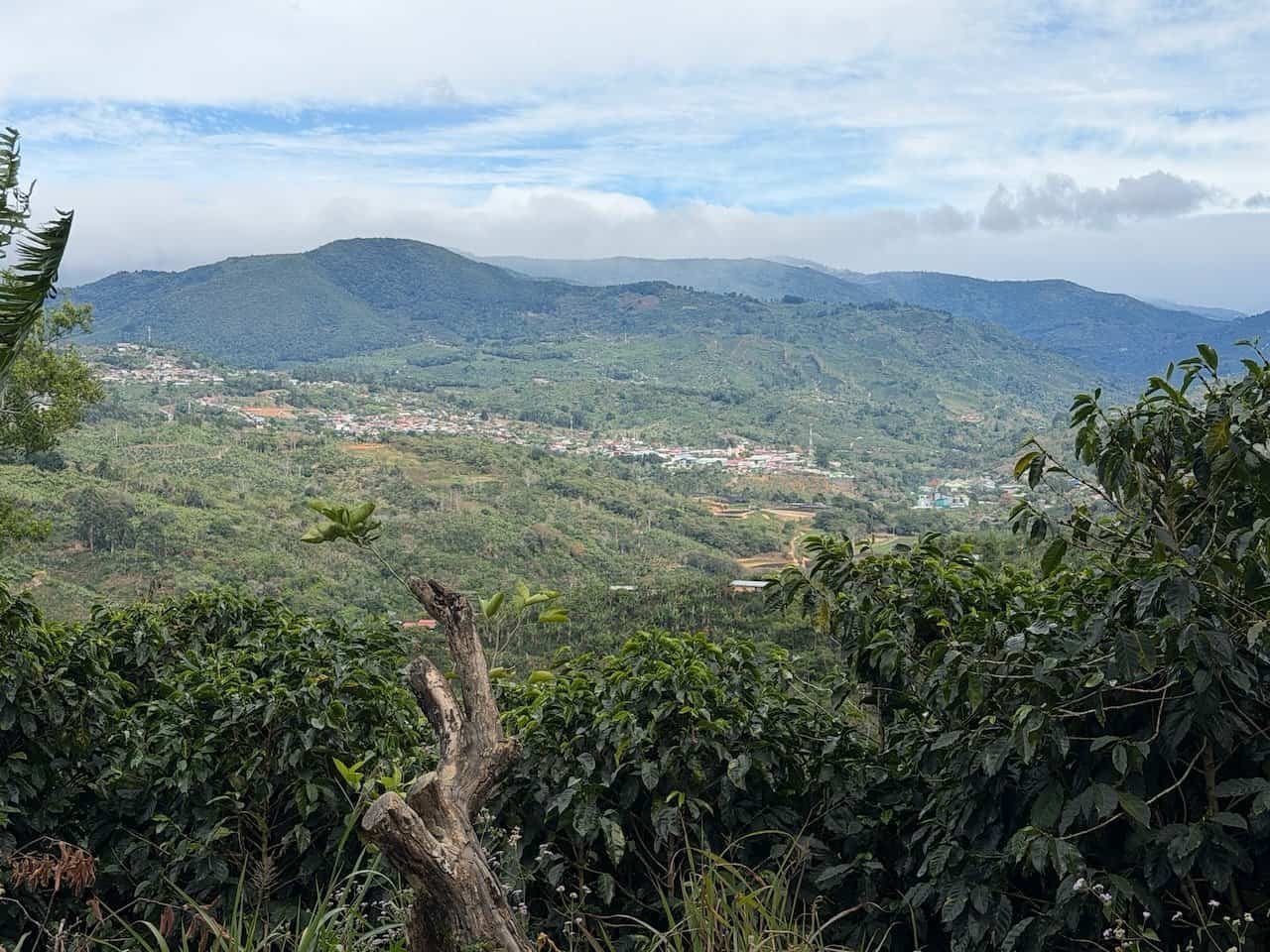
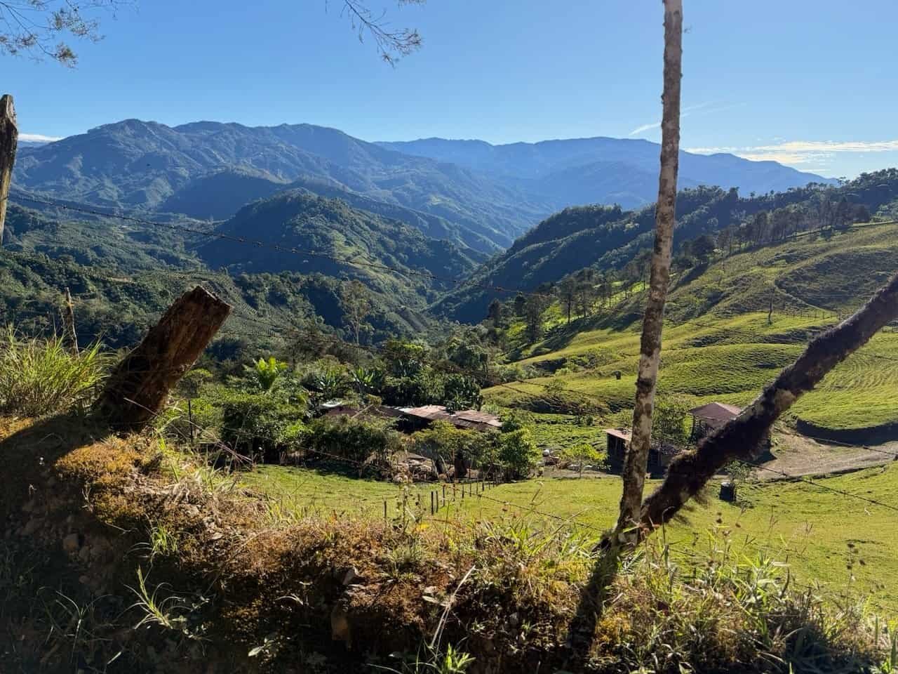
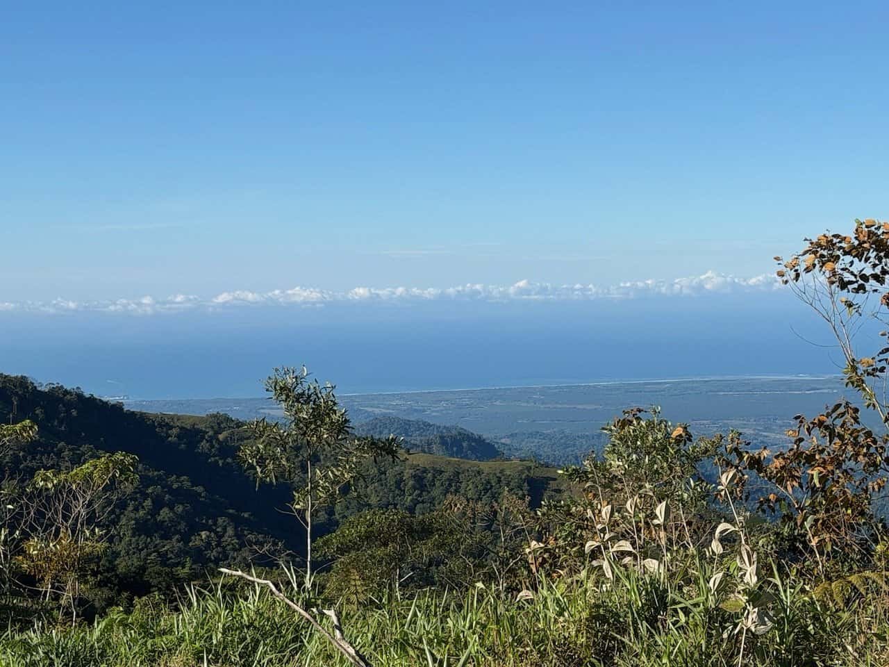
The trail connects the Atlantic (Caribe) with the Pacific, crossing through six climate zones, including coastal plains with banana plantations, higher elevations with coffee and sugarcane plantations, indigenous land, and rain and cloud forests. The temperature on our hike ranged from cold in the mountains (around 43 degrees F/ 6 degrees C) to 100 degrees F / 38 degrees C on the Caribbean flats.
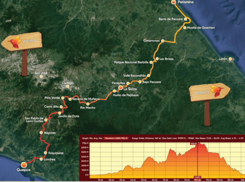
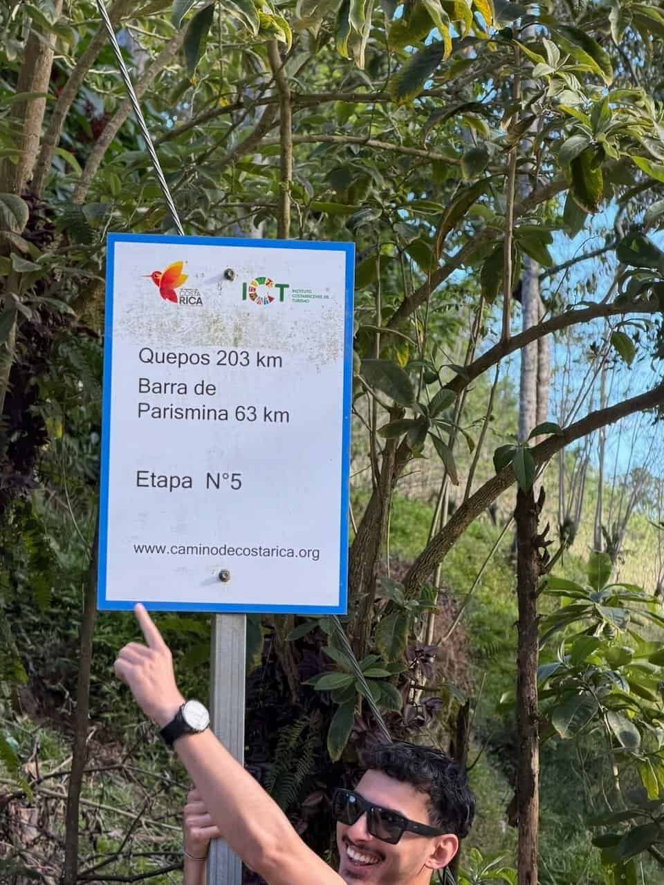
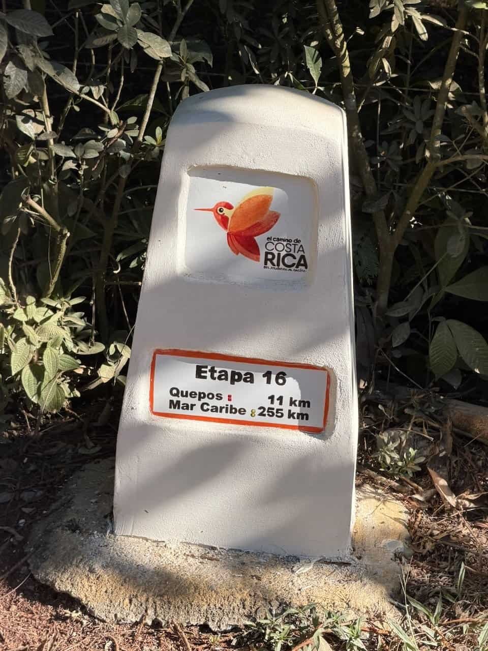
Overall the Camino de Costa Rica is 280km (175 miles) divided into 16 stages. Most people we met did the hike in 16 days, which included at least one rest day. We ended up walking 132 miles / 212 km according to my Apple Watch tracking. We missed one section due to closure by a landslide. Since we were walking multiple stages per day, there were some small variations in the route that removed sections on road along the Pan American highway. The cumulative ascent according to my tracking was about 25,000 feet / 7600 meters. Since we started at sea level and ended at sea level, by advanced logic we also descended about 25,000 feet. I tried to hide this fact from my knees.
Our group did the Camino in 10 days with no rest days.
Note: anyplace I list mileage or elevation gain, the numbers are based on my Apple watch tracking. There can be big variations in the numbers from other sources and devices.
Did You Train for This?
Oh, yes I did! As soon as I signed up for the hike I started extending my daily walks (in addition to my regular strength training). I also added mobility training focusing on my ankles and knees. My knees were not good students.
Over several months I walked hundreds of miles, including steep hills around Lake Atitlan, in San Diego, and in northern Florida (no hill training there!) I wore out a pair of shoes walking the roads, gravel hillsides, and local trails. I even increased my pace on downhills, though not to the pace of a normal-kneed hiker.
Okay, Tell Me More!
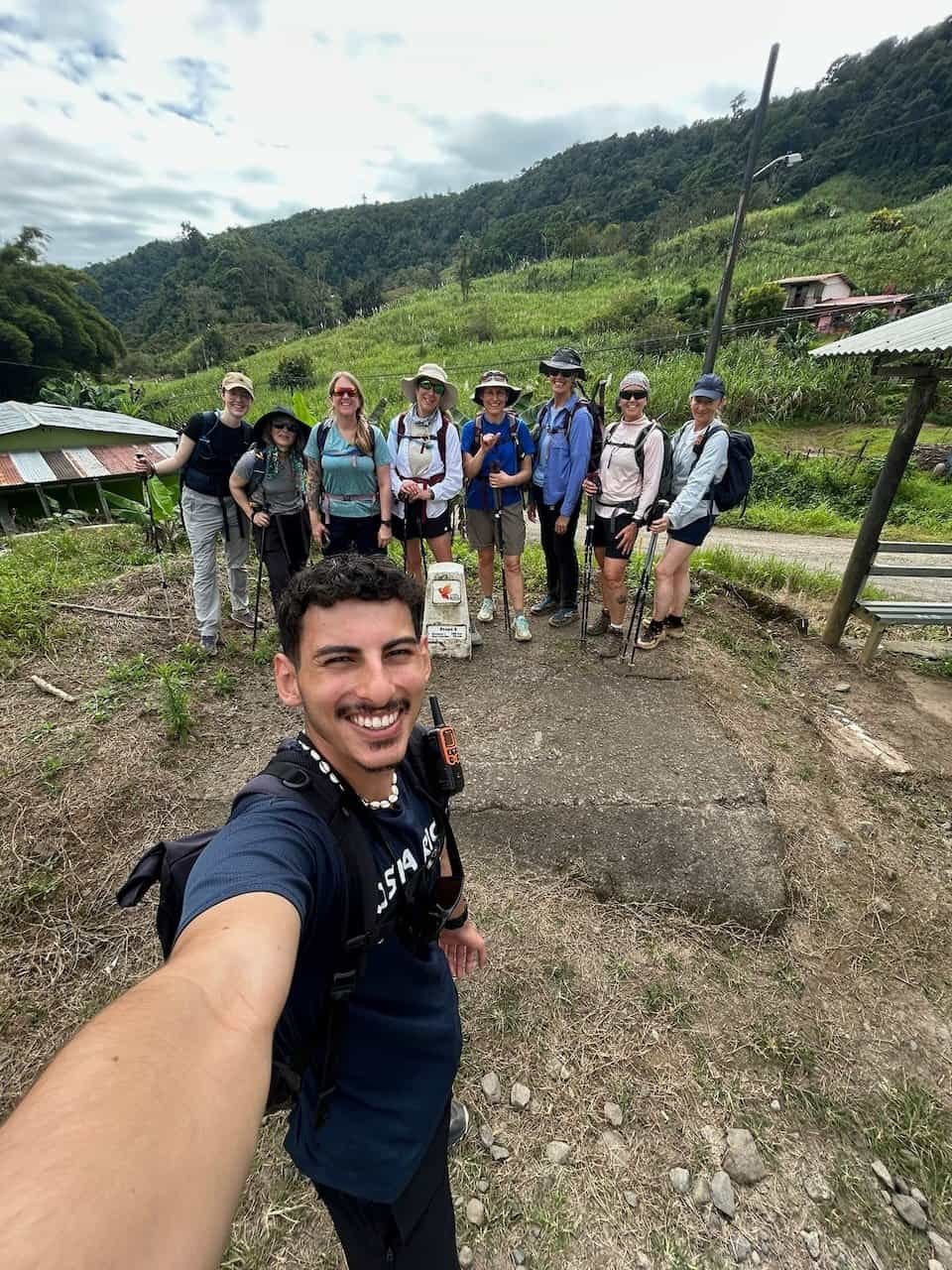
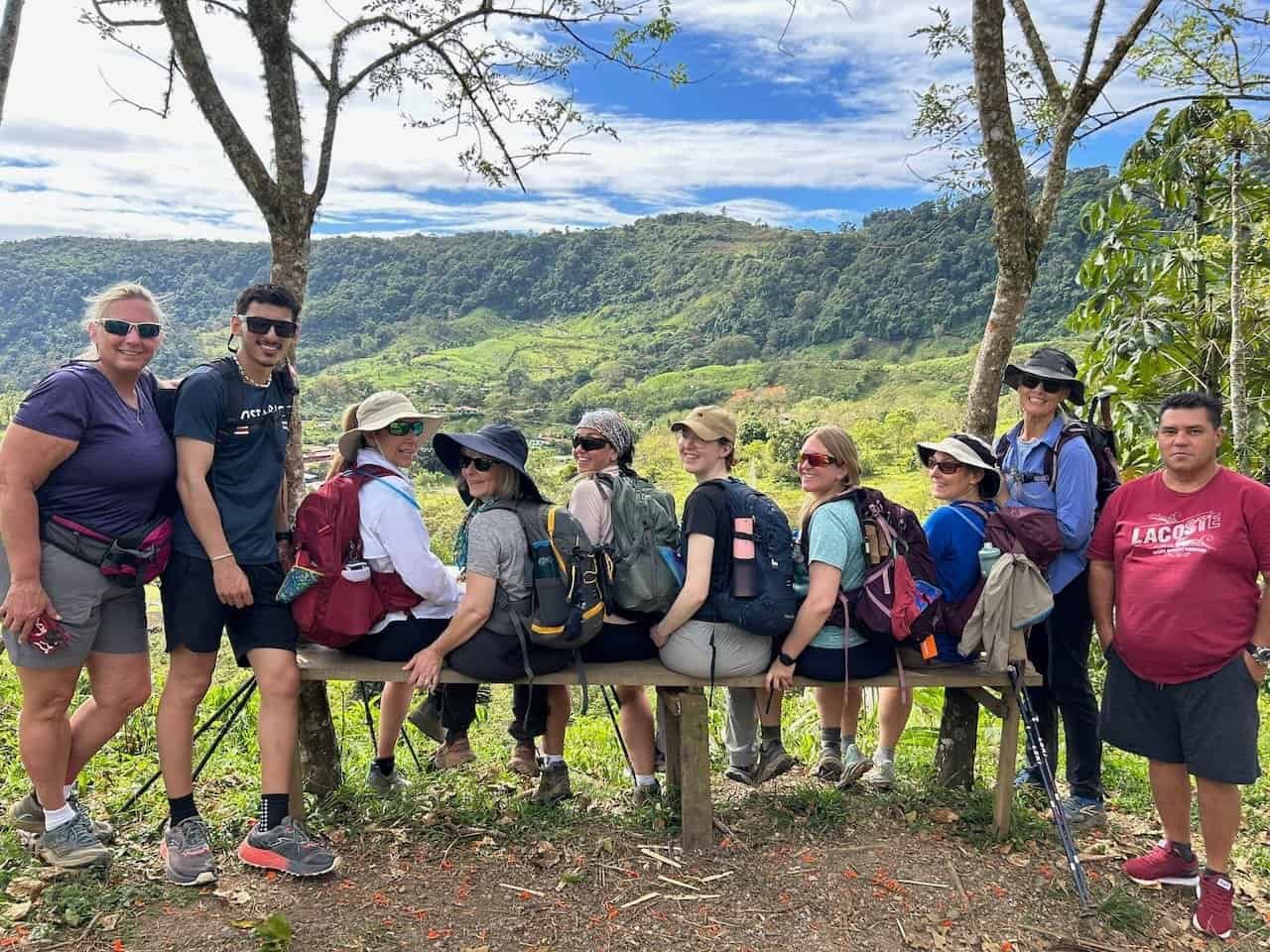
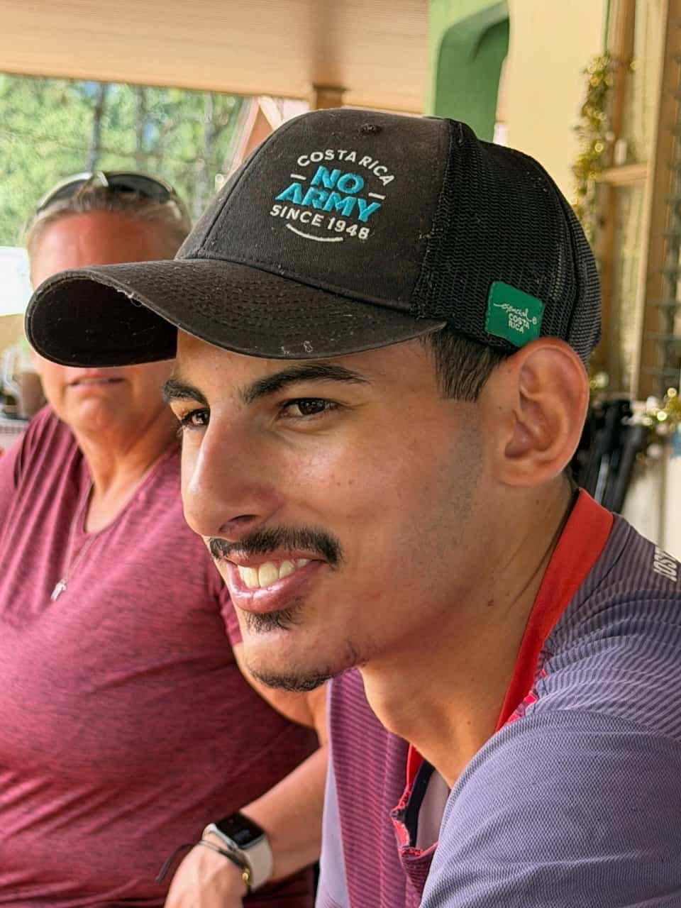
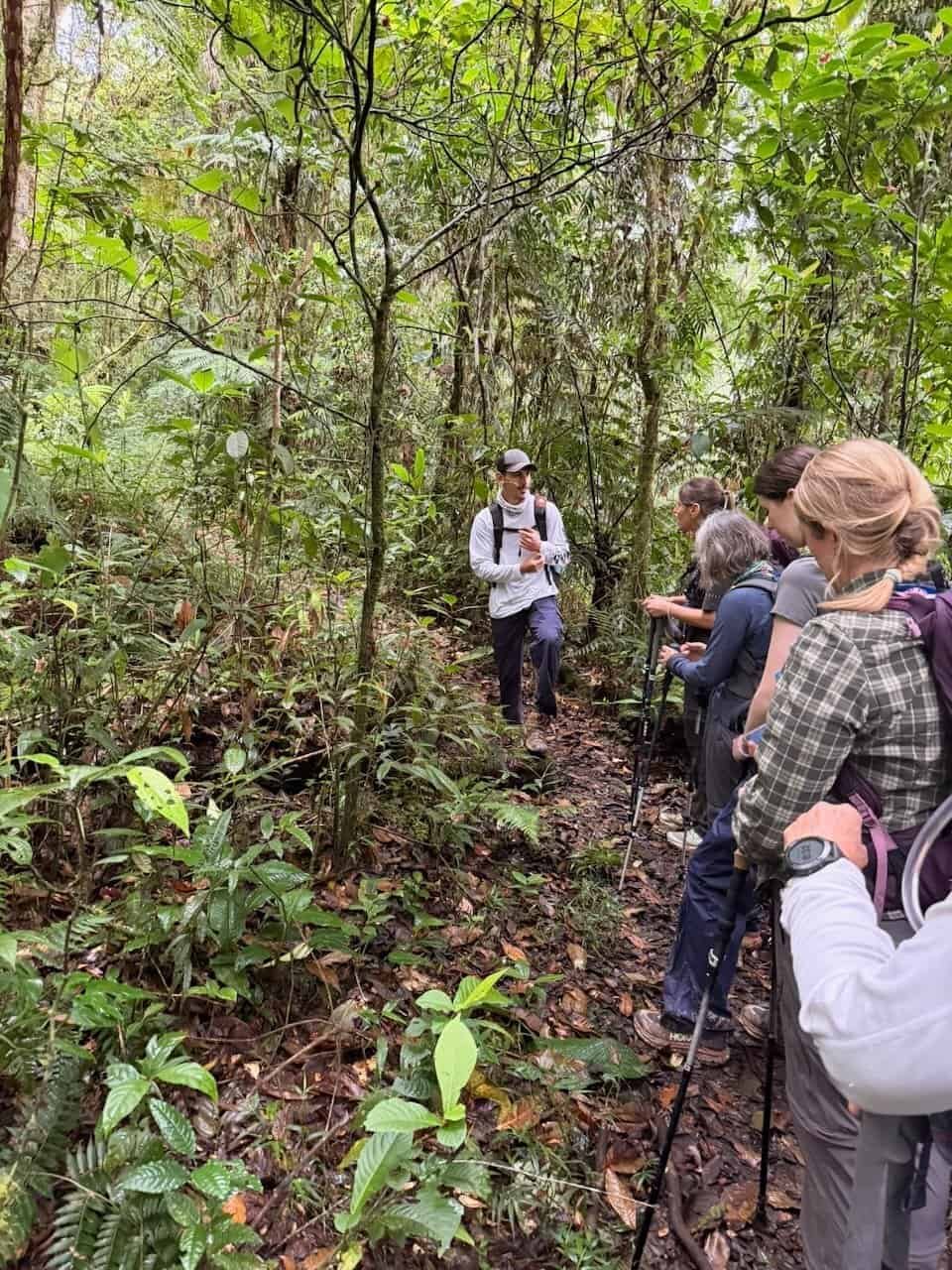
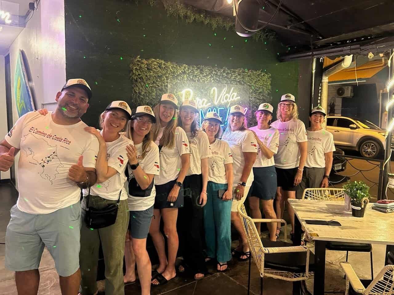
Our group of eight women (plus our leader, Emma, and our local guide, Alejandro) met in Costa Rica’s capital, San Jose. It was an easy 90 minute flight for me from Guatemala. Others in our group had more time-consuming journeys as they came from both sides of the US, Germany, and England.
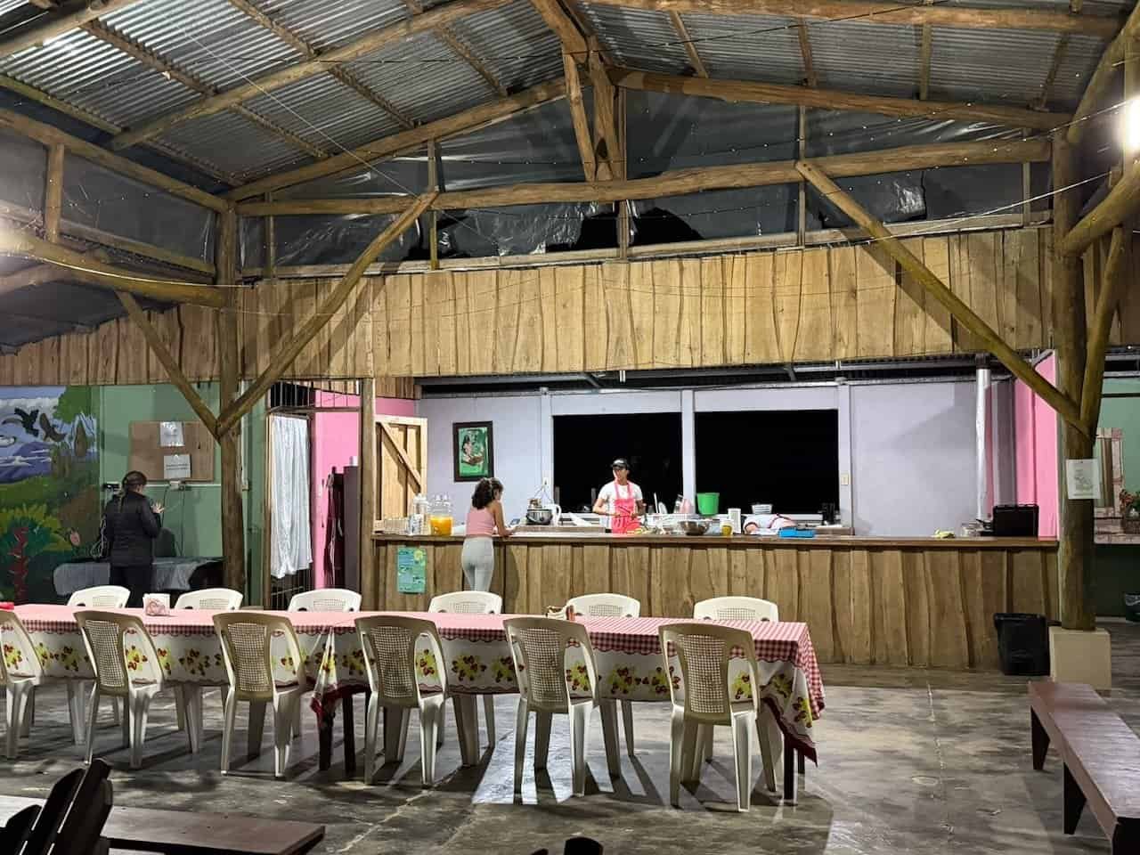
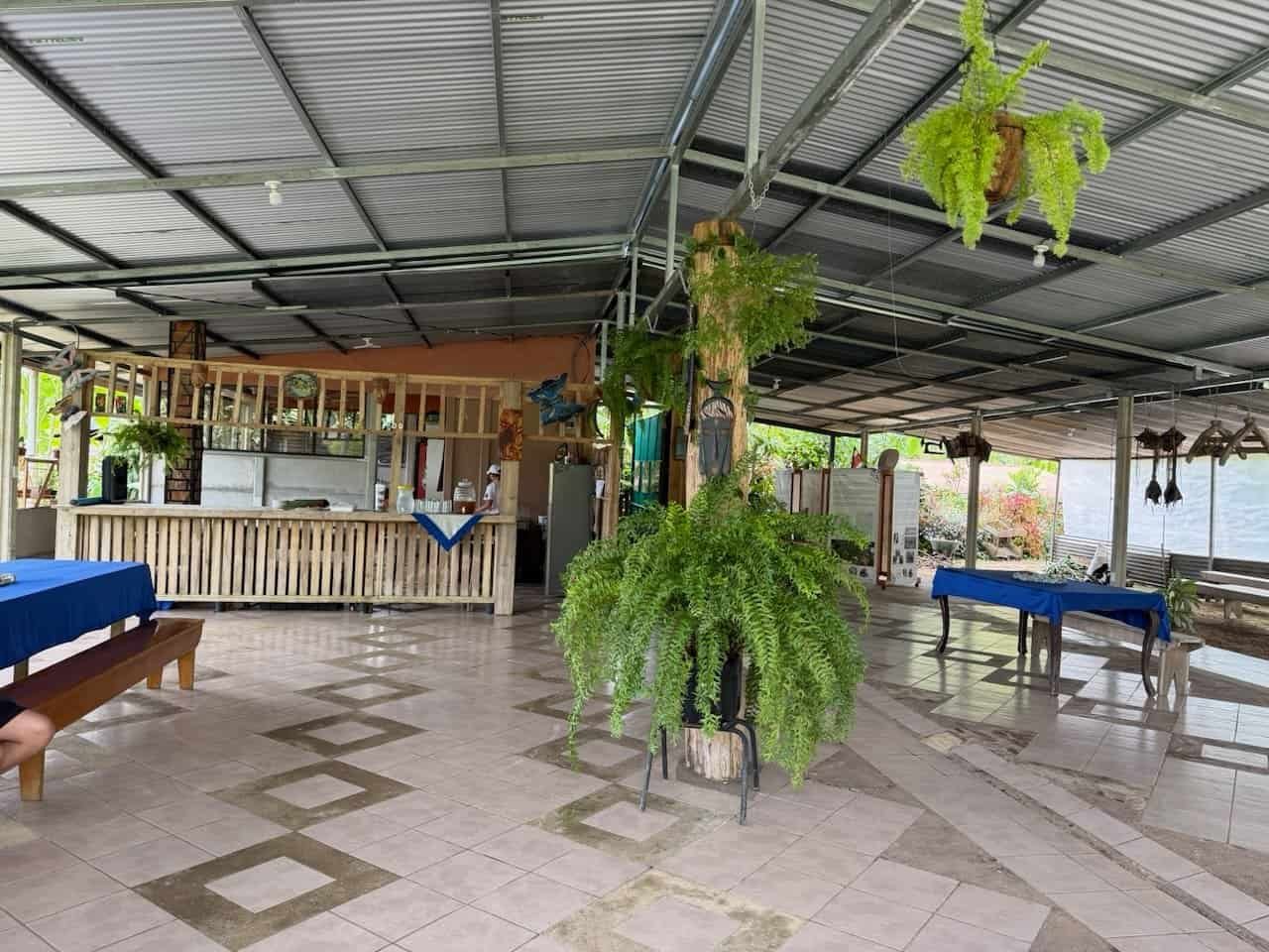
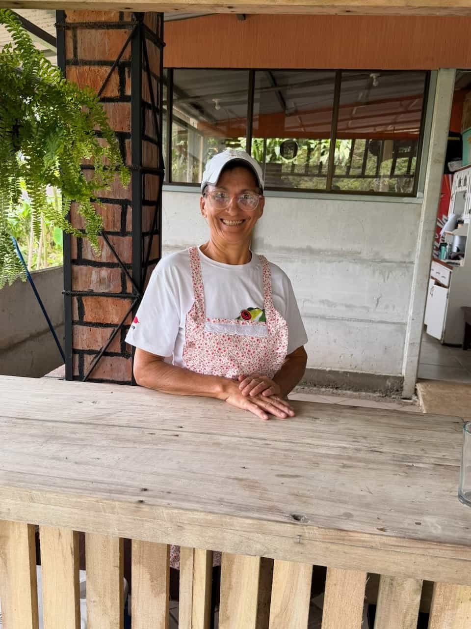
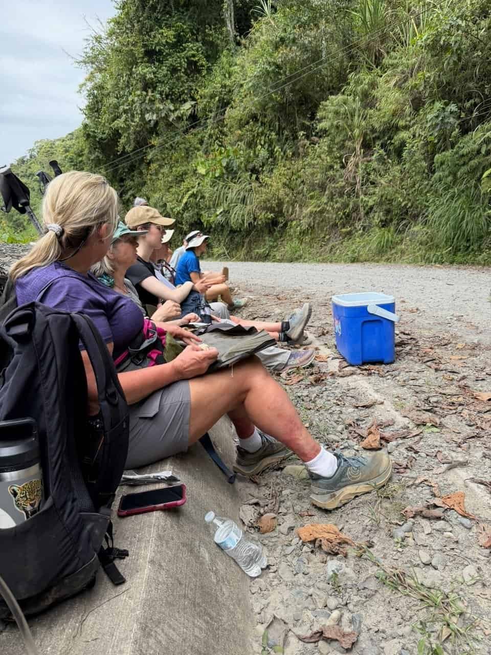
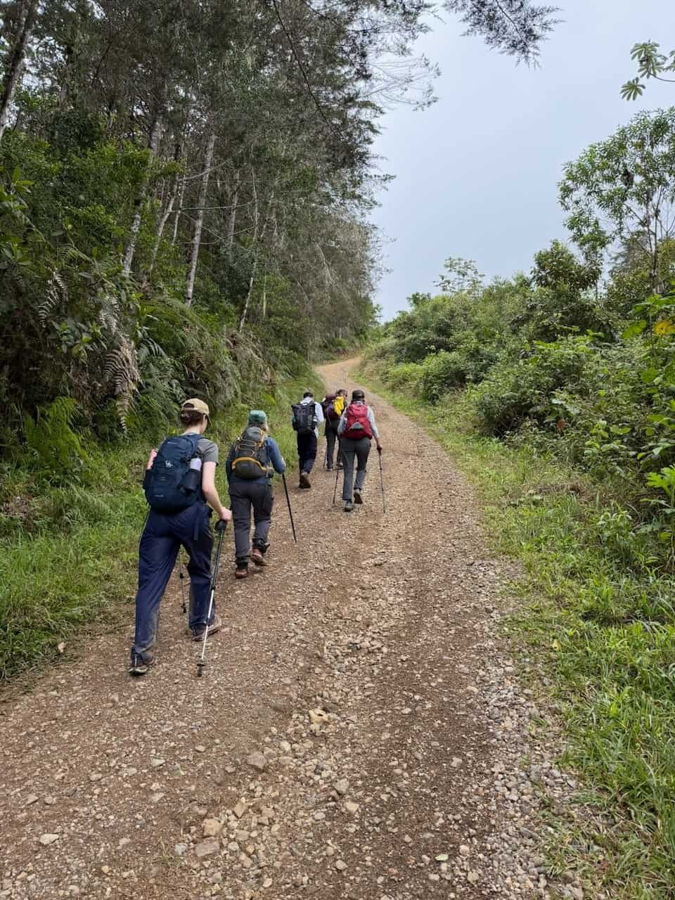
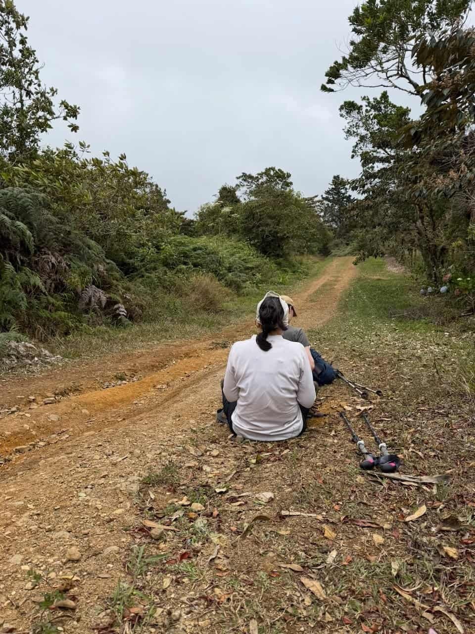
On the first day we piled ourselves and our luggage into a van for the four-hour drive to the Caribbean coast. I haven’t mentioned that this was a fully supported hike. We carried our day packs with water, snacks, and personal gear. Our luggage was transported from location to location. The trip included all lodging, meals, snacks, and support along the way. A support vehicle was available through much of the hike for those who needed a rest and for water refills and snacks.
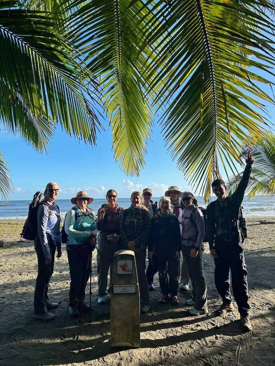
Day 1 – Touching the Caribe then hot, hot, hot
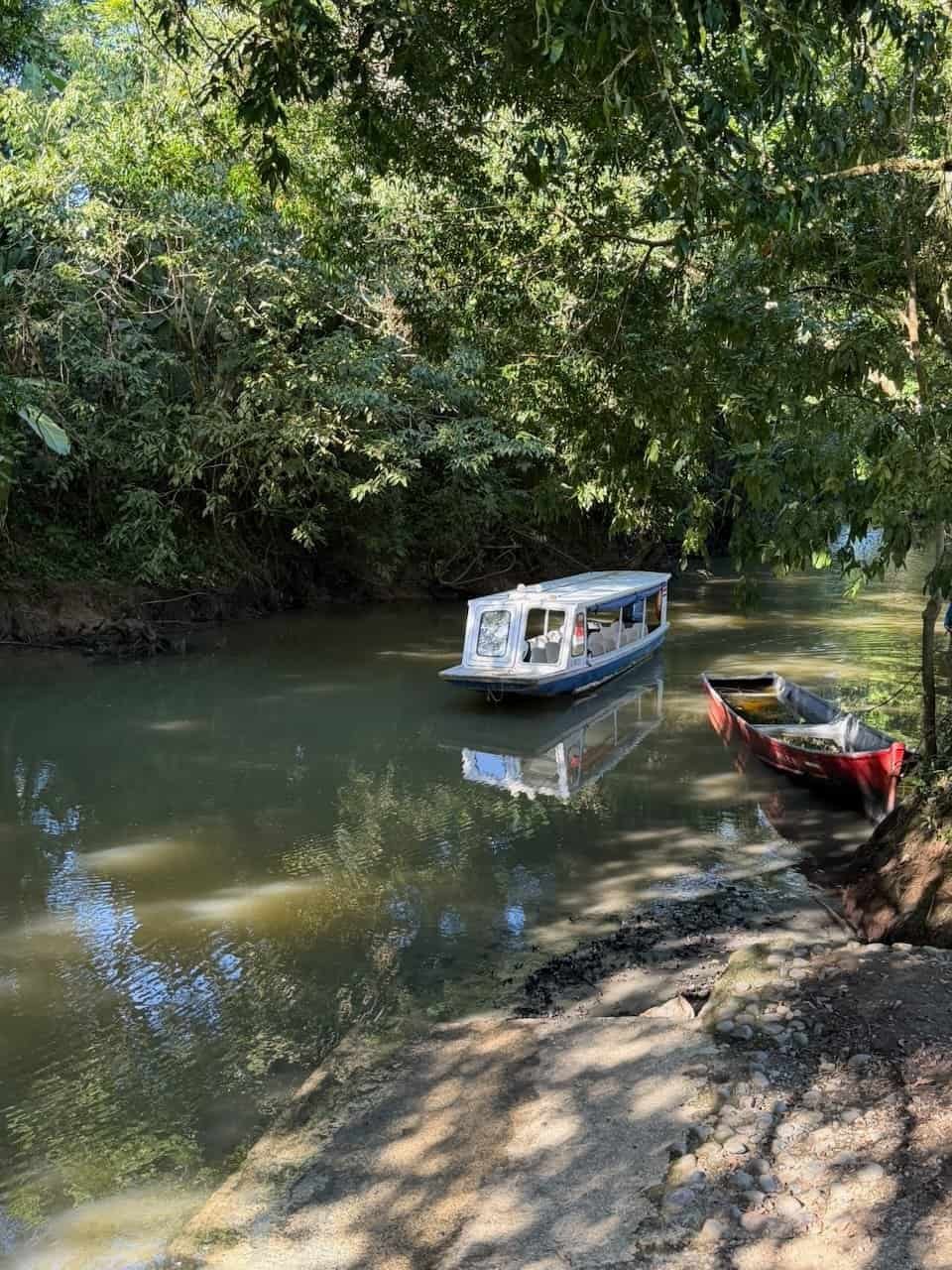
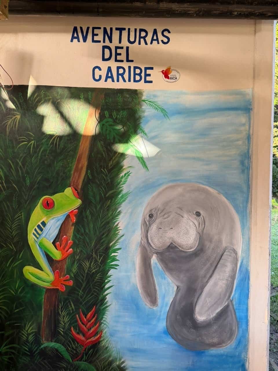
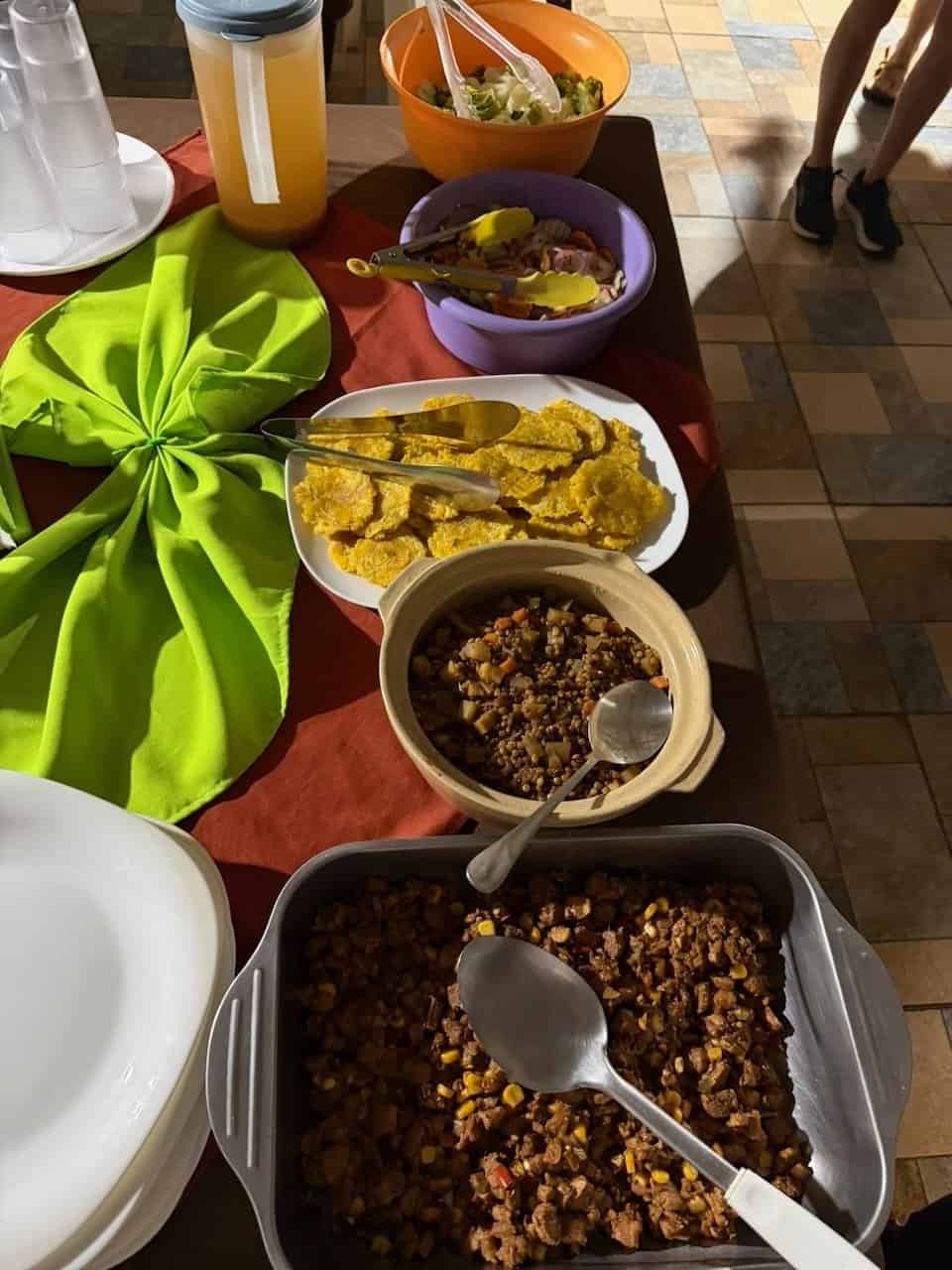
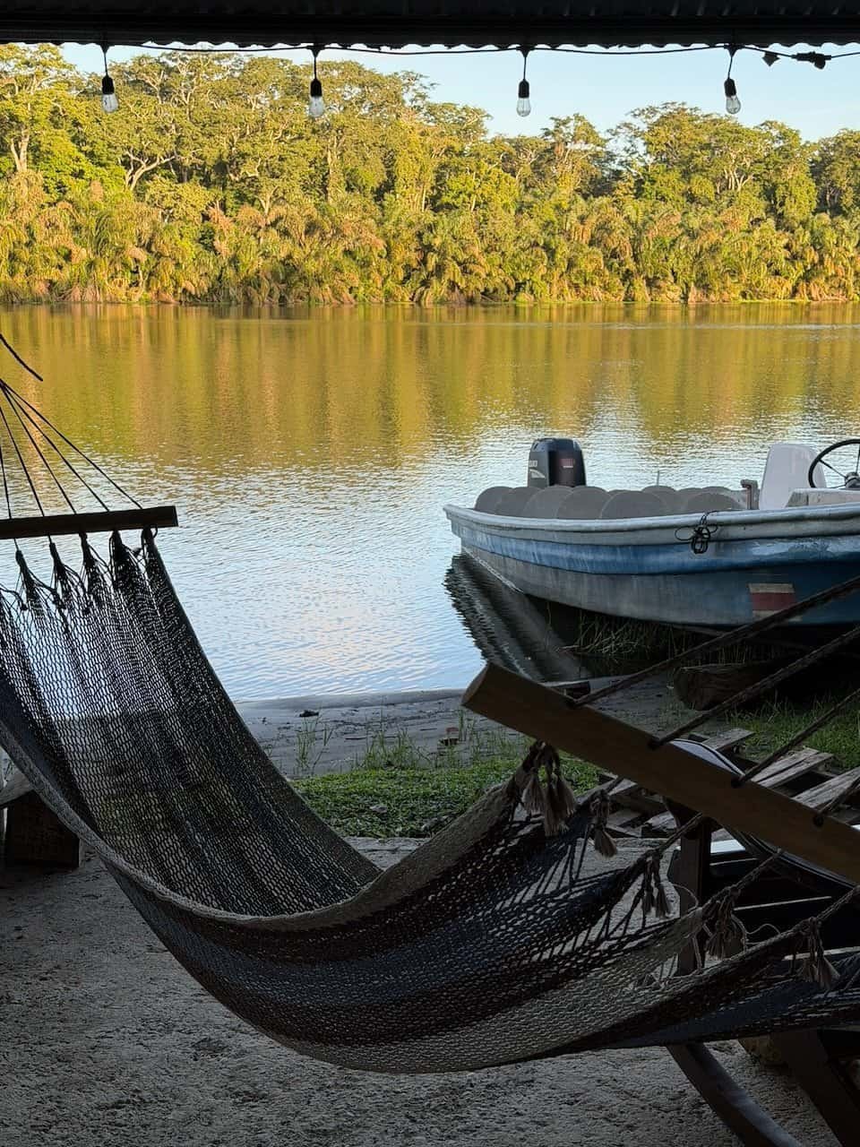
After a 4-hour ride from San Jose, we took a boat to our first stop: Adventuras del Caribe in Barra Pacuare.The lovely women there made an amazing meal as we enjoyed the riverside jungle.
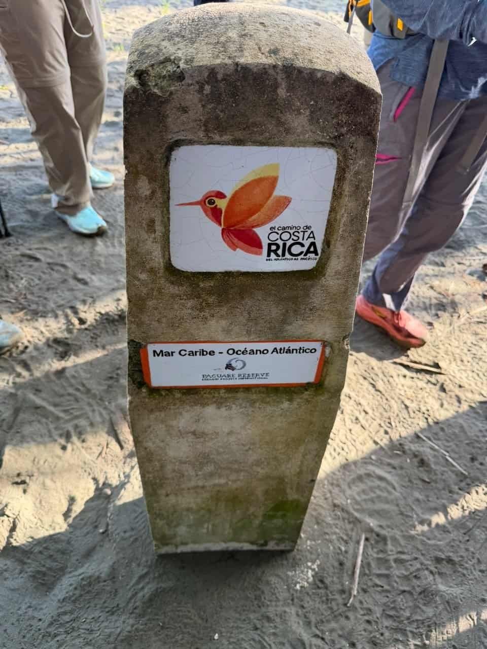
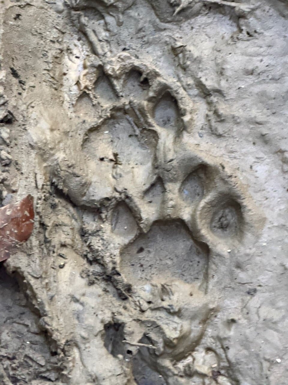
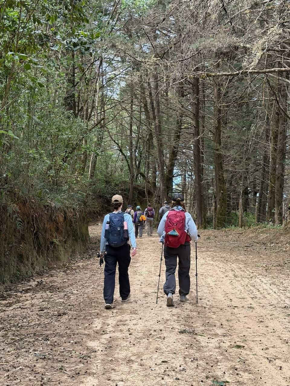
Bright and early we were off across the river to touch the Caribbean at Barra de Parismina and hike 7km through the jungle. The trail runs along the coast and we could often hear the surf but not see the water due to the thick jungle.
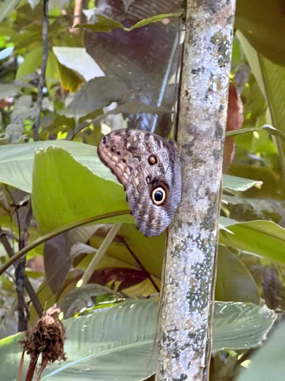
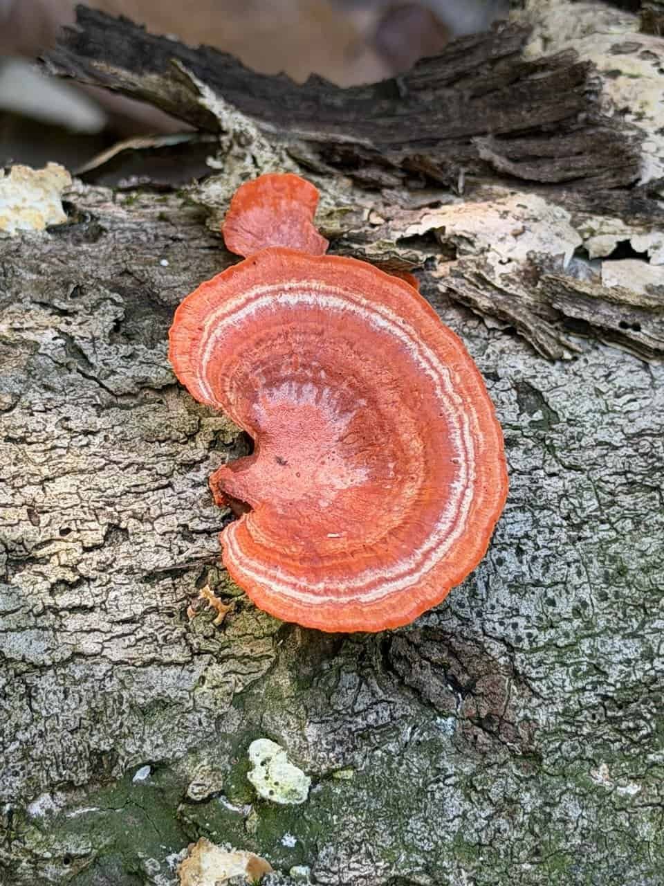
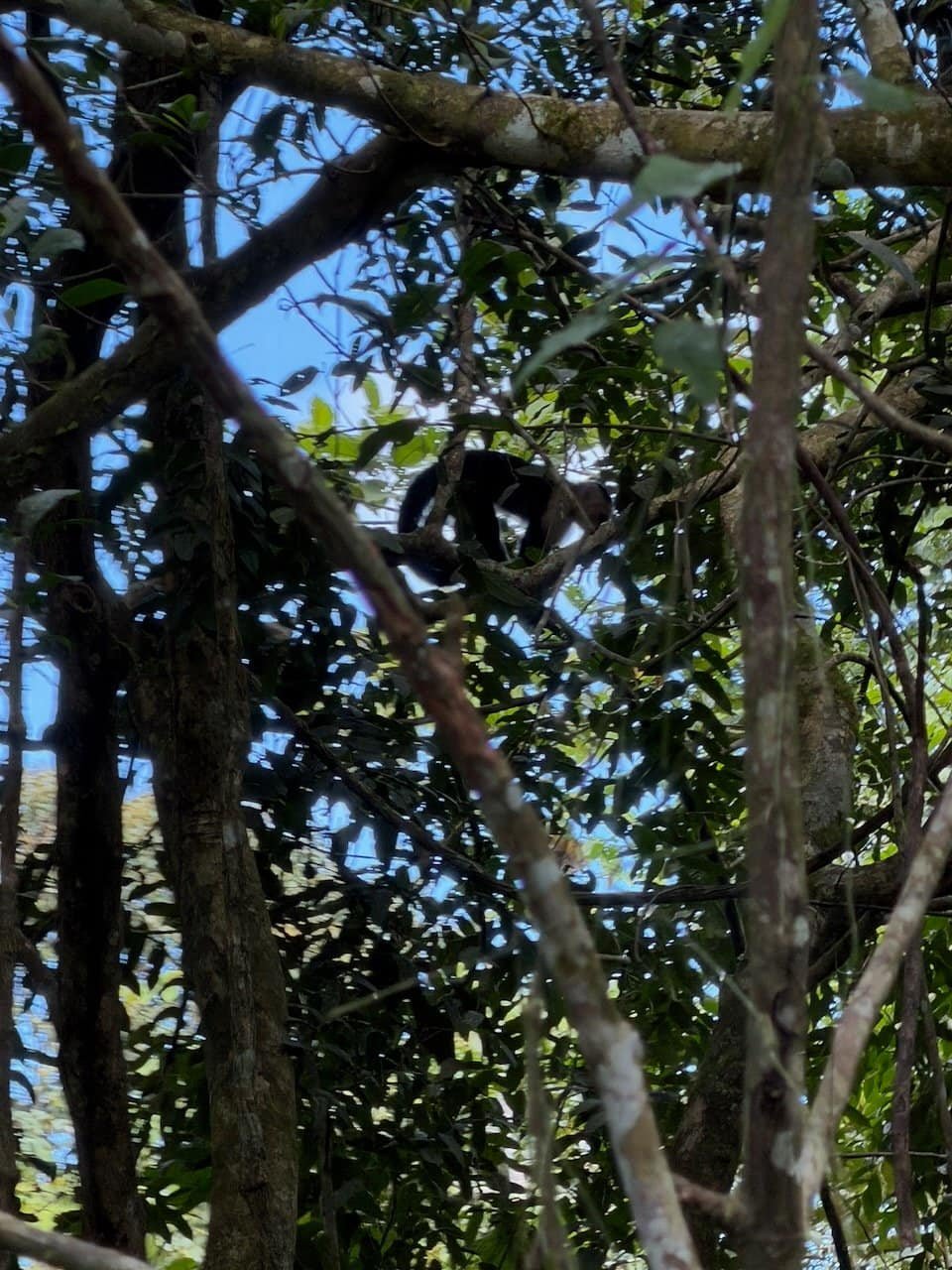
Highlights included huge jaguar paw prints in the mud, monkeys, butterflies, mushrooms, and more leaf cutter ants than you can imagine.
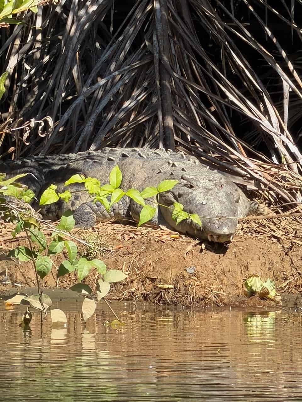
We hopped back into the boat toward the starting point of the next section. Crocodiles lounged along the river bank and several types of herons graced the shore.
The rest of the day was hot and humid as we walked down tracks and through miles of banana plantations. I was happy to have my hiking umbrella to provide personal shade.
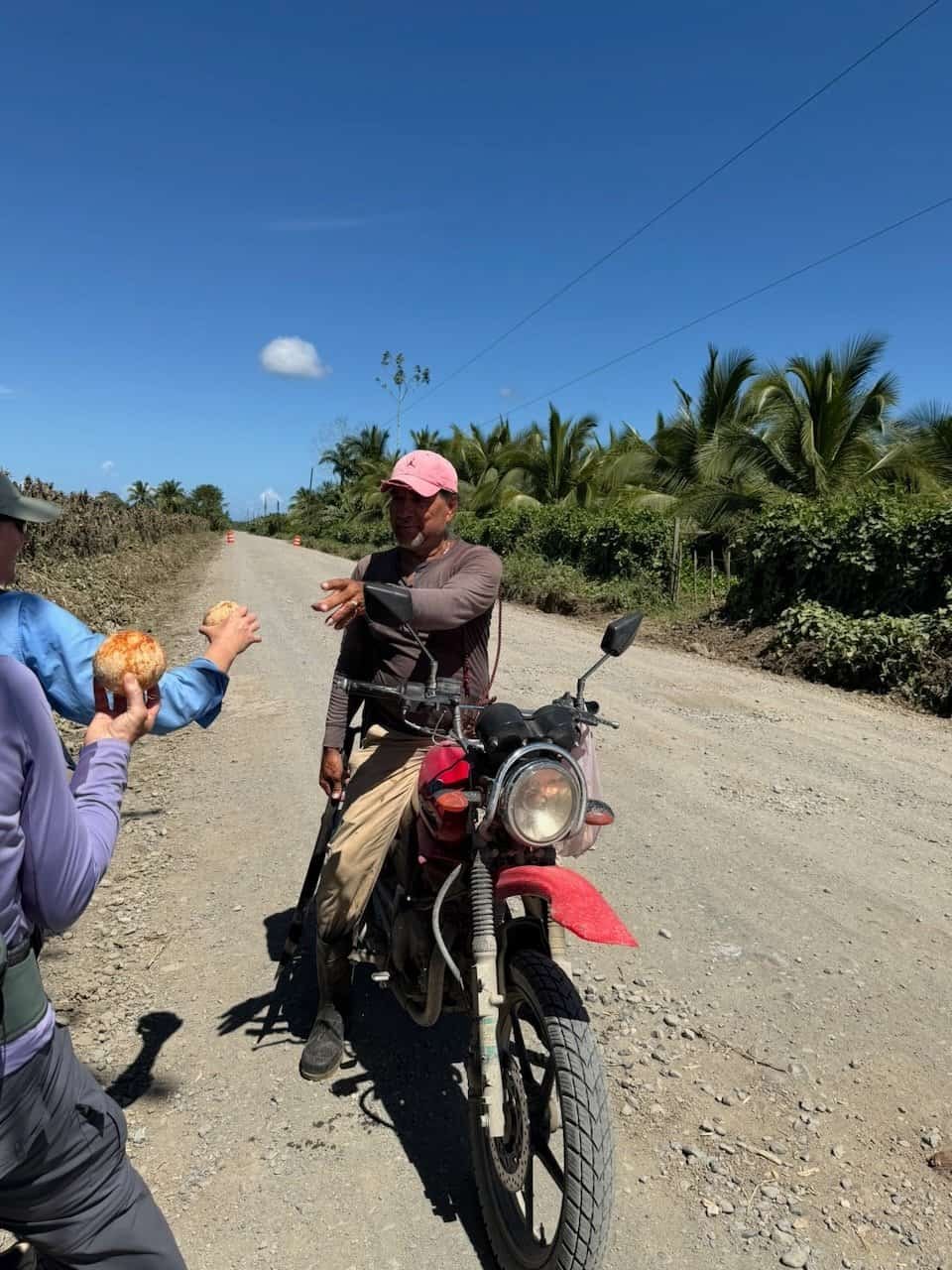
Our driver and his lovely wife brought our picnic lunch, which we enjoyed in a park. Along the way a trail angel on his motorcycle gave us coconuts: the coco water was welcome in the hot sun.
We finished the day near dark as we met at our driver’s home and were served delicious glasses of maracuyá (passion fruit) juice.
Overall we hiked about 29km, much of it in 38 C / 100 F heat.
A transfer to our hotel completed the day. I was grateful for air conditioning and a hearty meal that I didn’t have to cook.
Day 2 – Starting Up
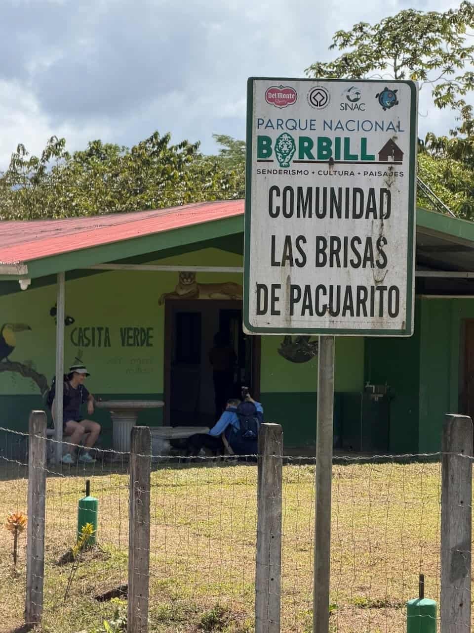
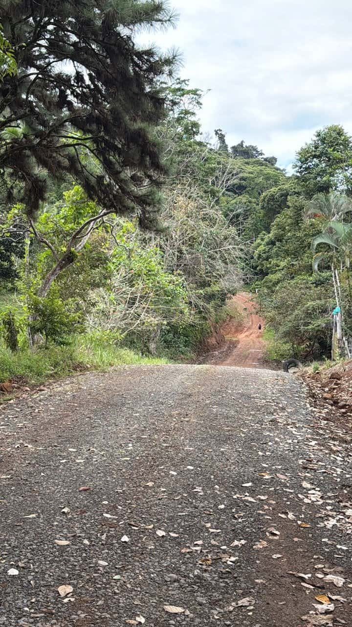
A beautiful day of ups and downs as we headed toward the village of Tsinikicha.
Our lunch stop in Las Brisas was a welcome break, though this was one of our shortest hiking day on the Camino at 16.6 km.
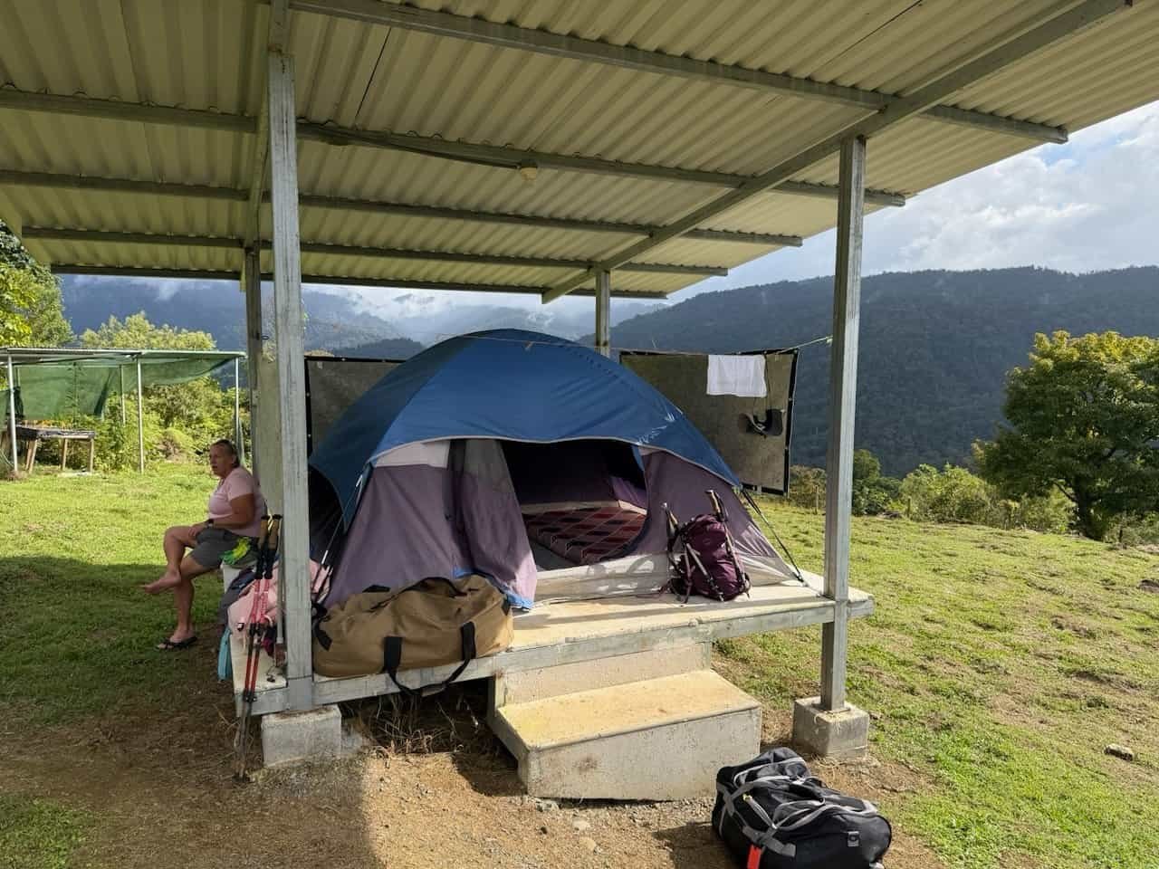
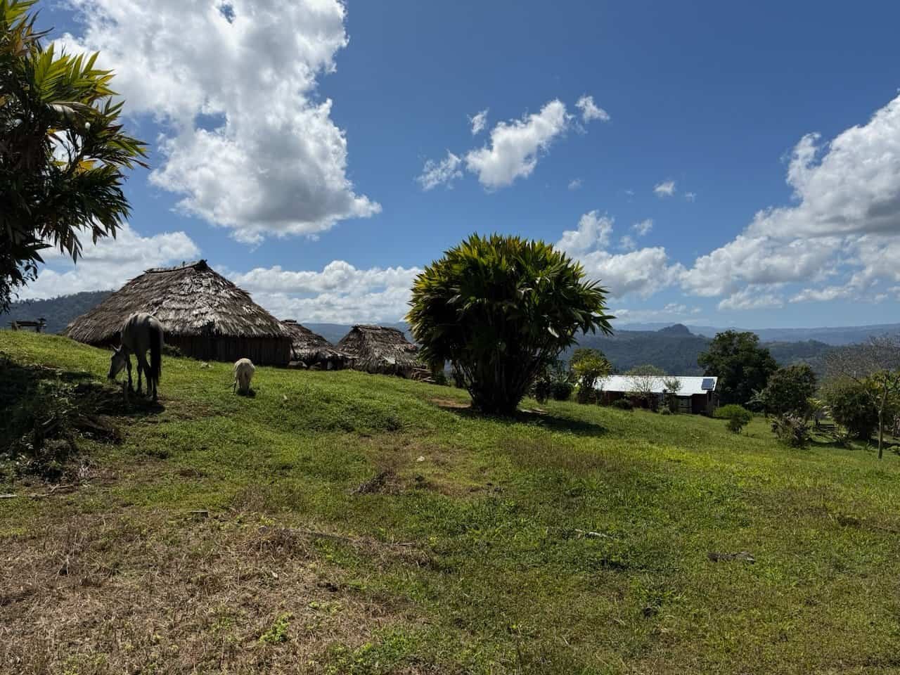
We finished in the camp on indigenous land at Tsinikicha. The camp had the tents on platforms with roofing and mattresses that made for a comfortable camping night.
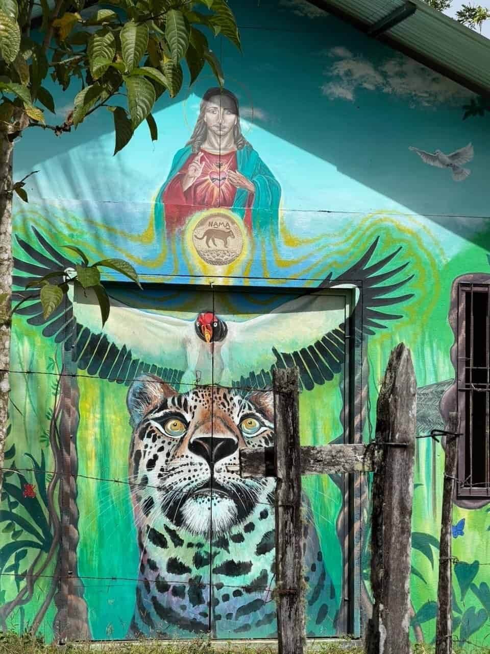
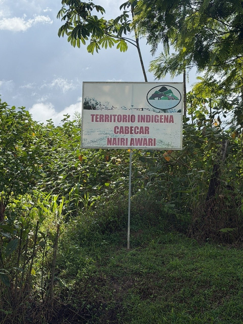
Day 3 – Through indigenous land
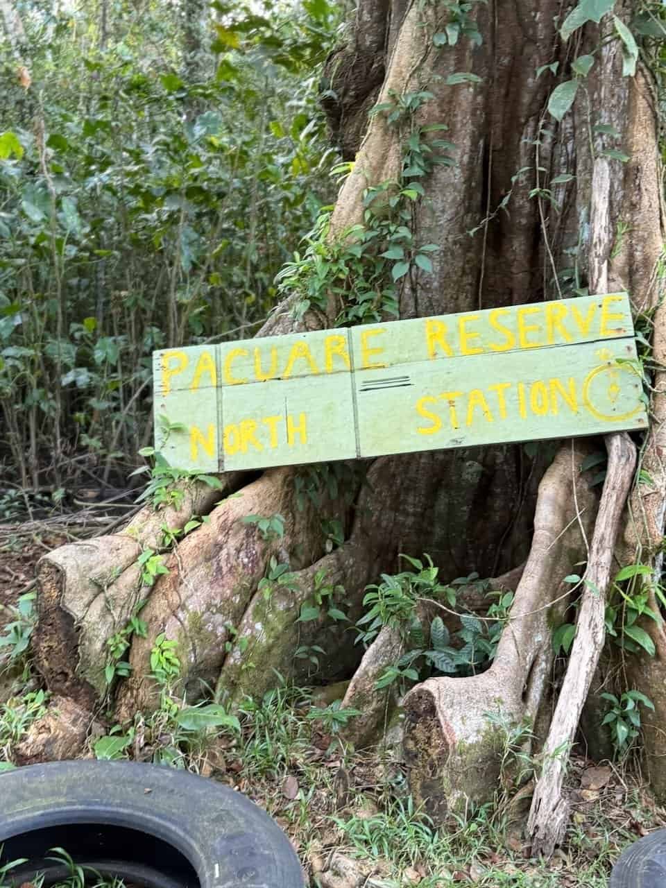
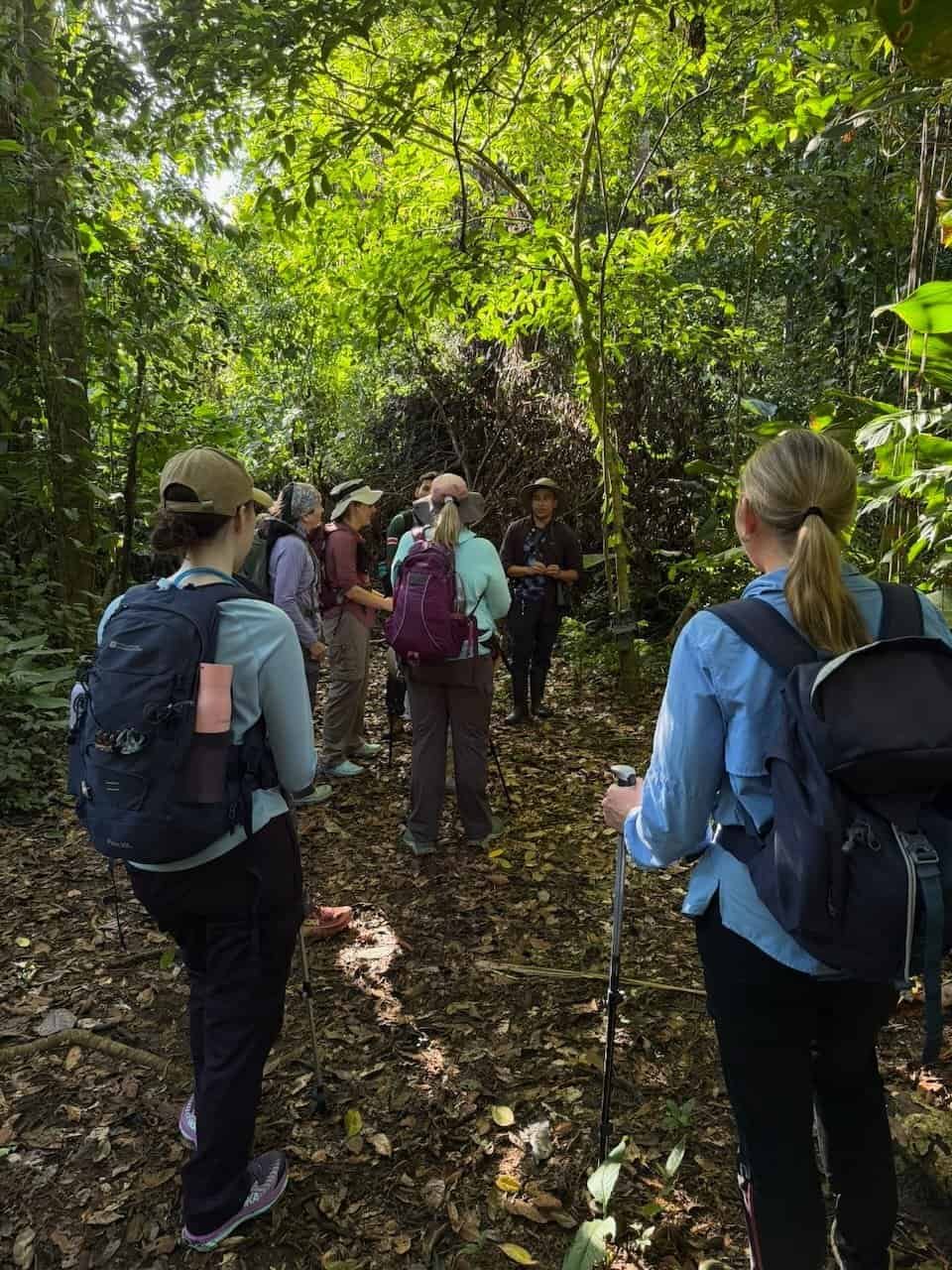
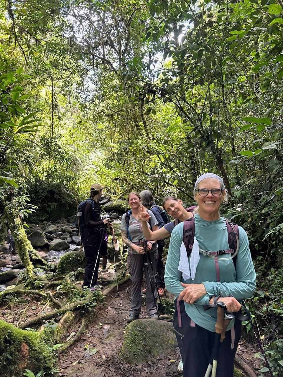
Day 3 started early – we were on the trail at 5am. We had an indigenous guide for this part of the hike, which led us through the Nairi Awari territory.
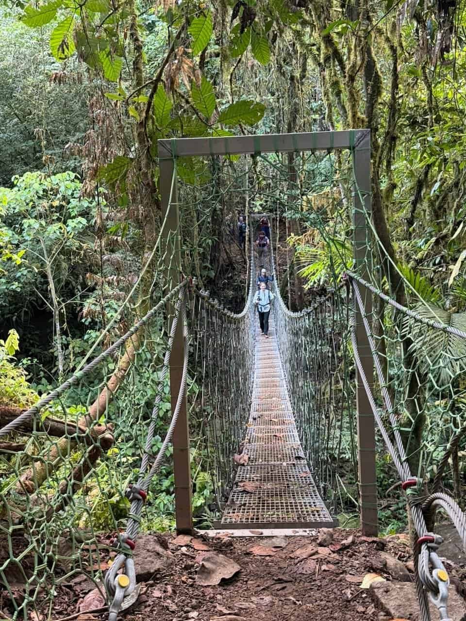
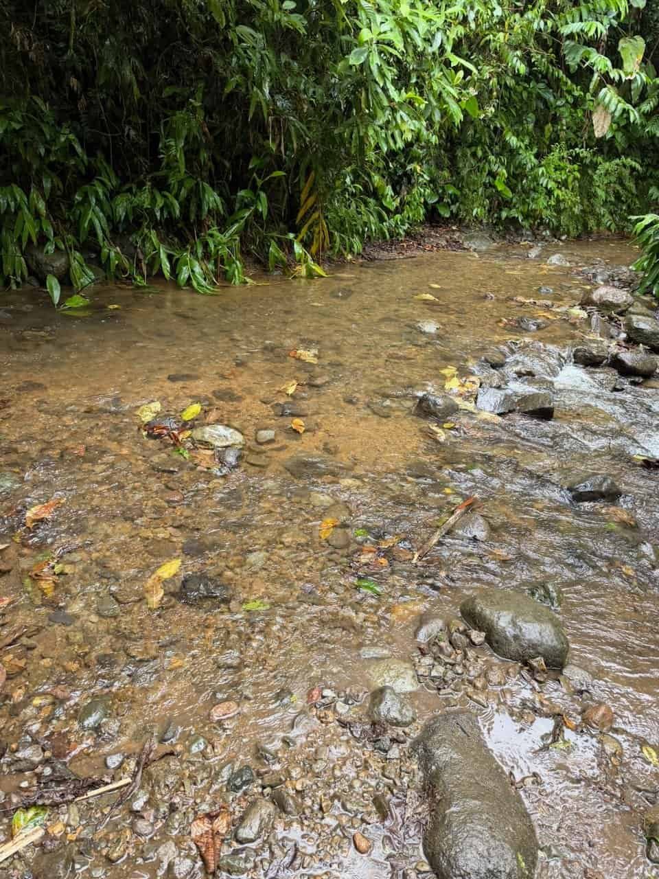
The day was up and down trails, many of them quite narrow and muddy, with a few water crossings. This was the most technical part of the Camino and challenged my knees and my state of mind more than any other day.
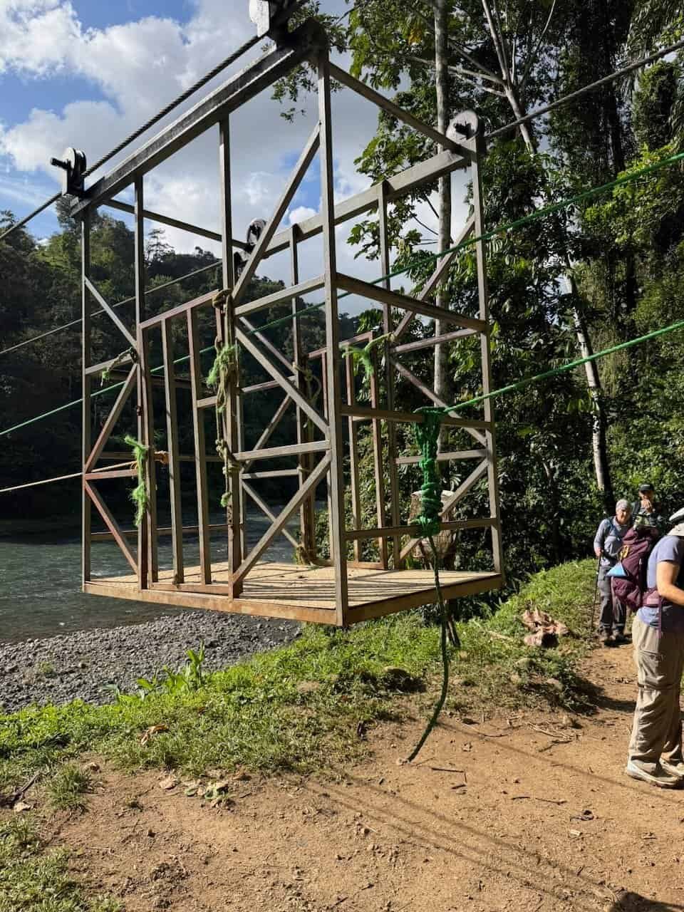
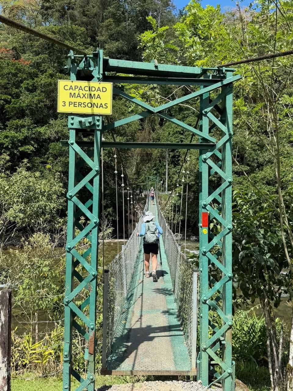
After a lunch stop we continued down to the Rio Pacuare. The method of crossing this river is a manual cable car. Our guides went first, then hauled the rest of us across two at a time. It was a blast for us and a lot of hard work for our guides.
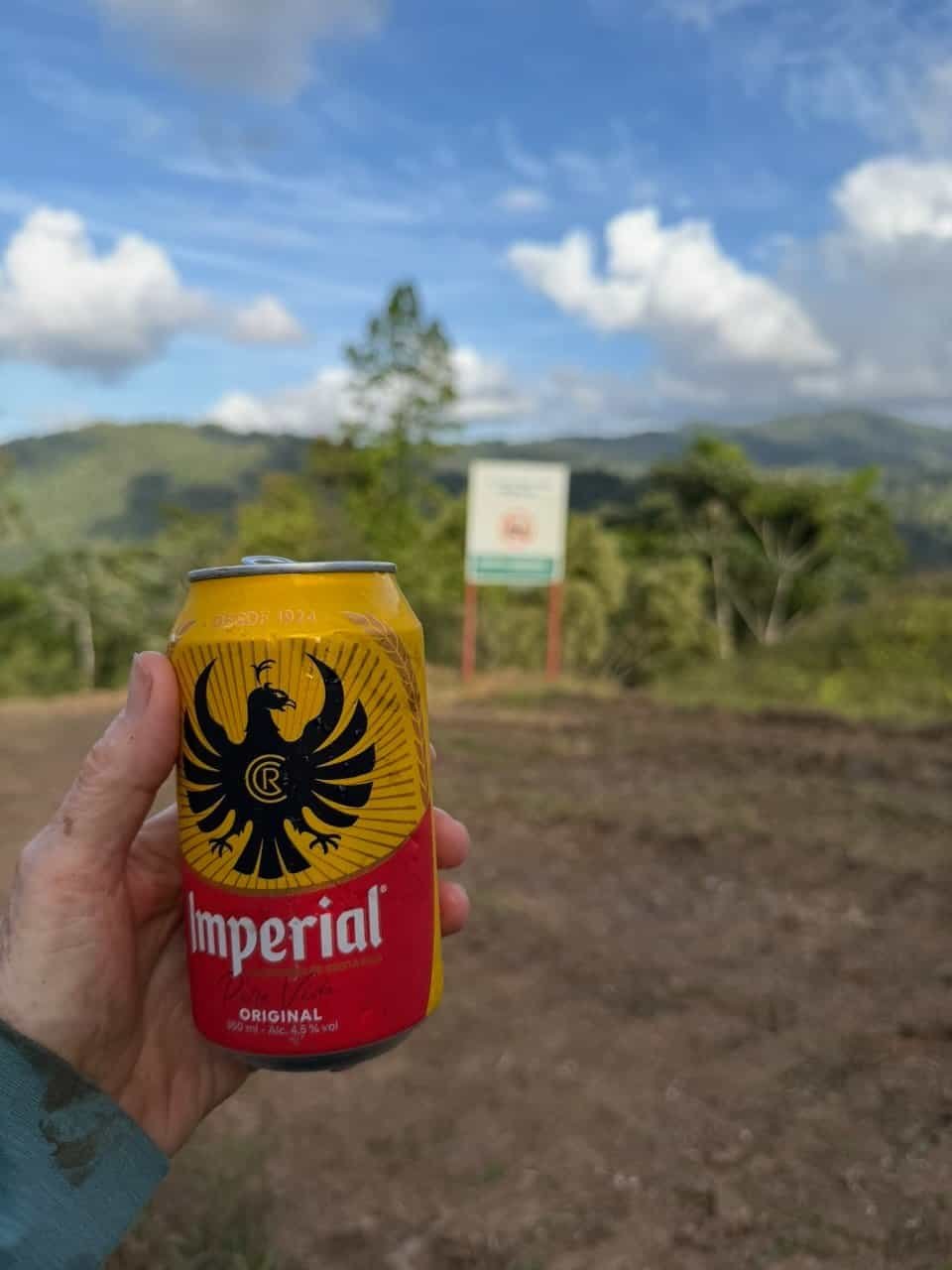
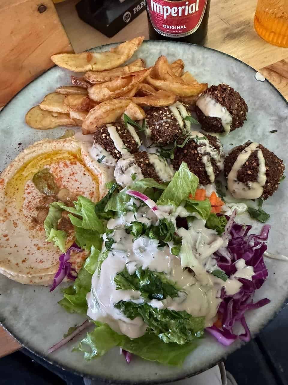
The day finished with a steep uphill hike to our van, where I enjoyed an Imperial beer. I don’t drink beer, but that one was amazing.
The van took us to our stay at Aventuras El Ceibo, a sweet glamping experience with food that was beyond amazing.
This was our longest day, with over eight hours of hiking, 19 km, an over 1000 m of elevation gain. It was the hardest single day of hiking I’ve ever done.
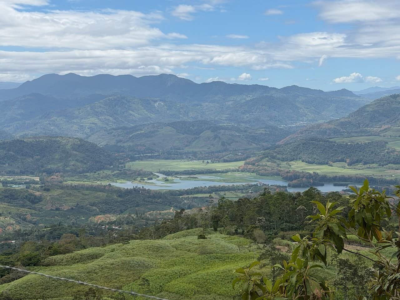
Day 4 – Angostura Dam and more great food
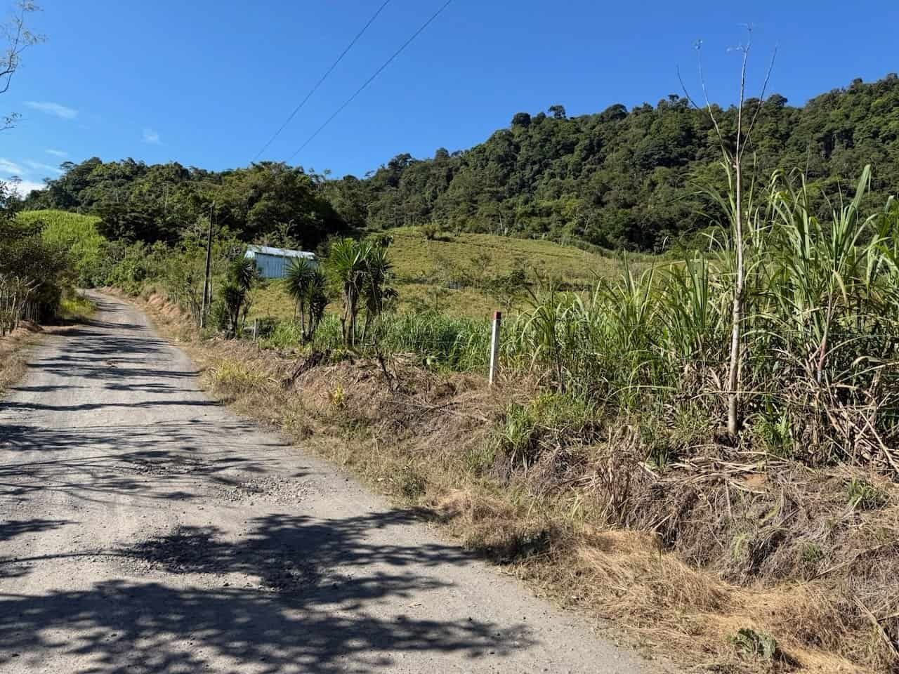
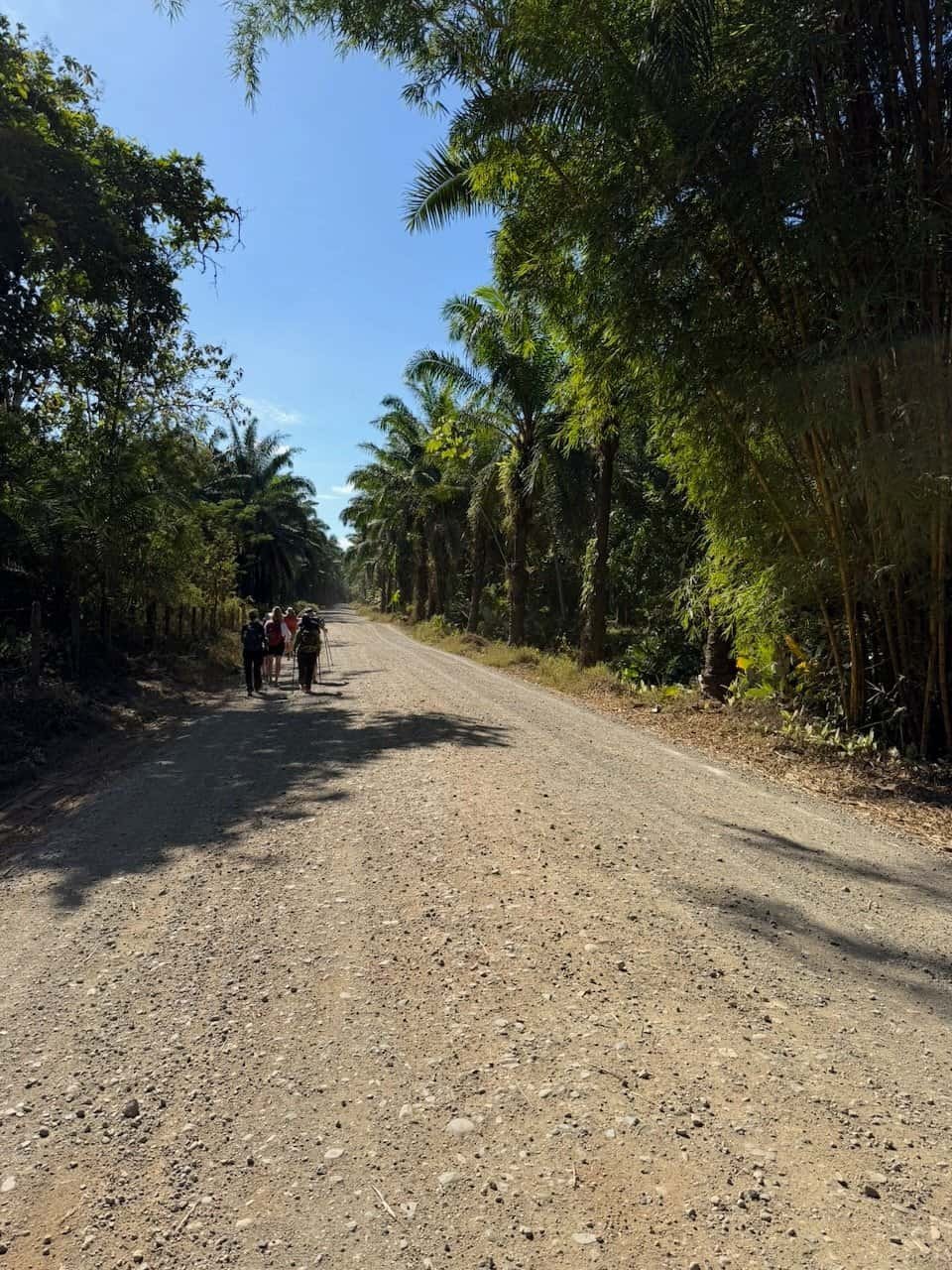
After an incredible breakfast of banana pancakes and peanut butter, we hit the road for hiking between villages, primarily on gravel roads. Though we covered about 21km, today’s hiking was pretty mellow.
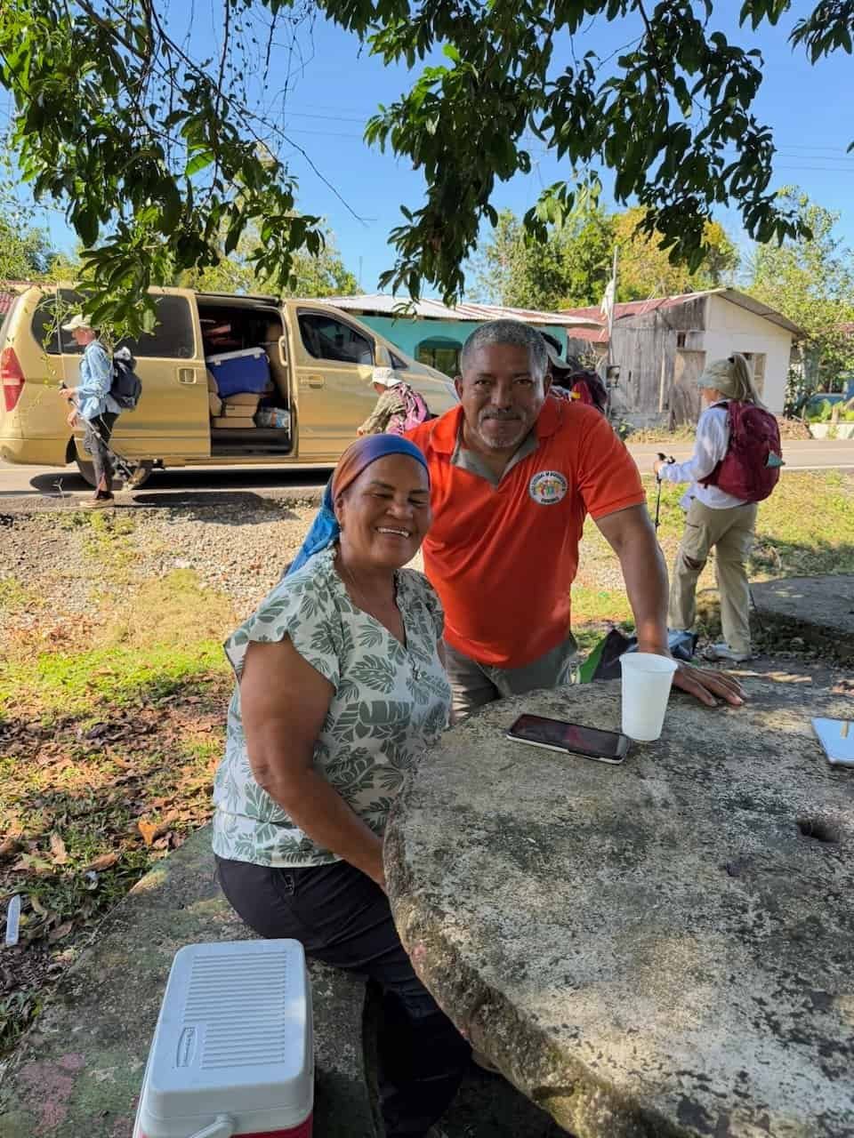
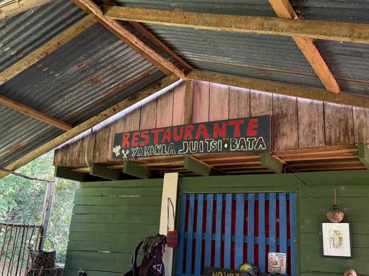
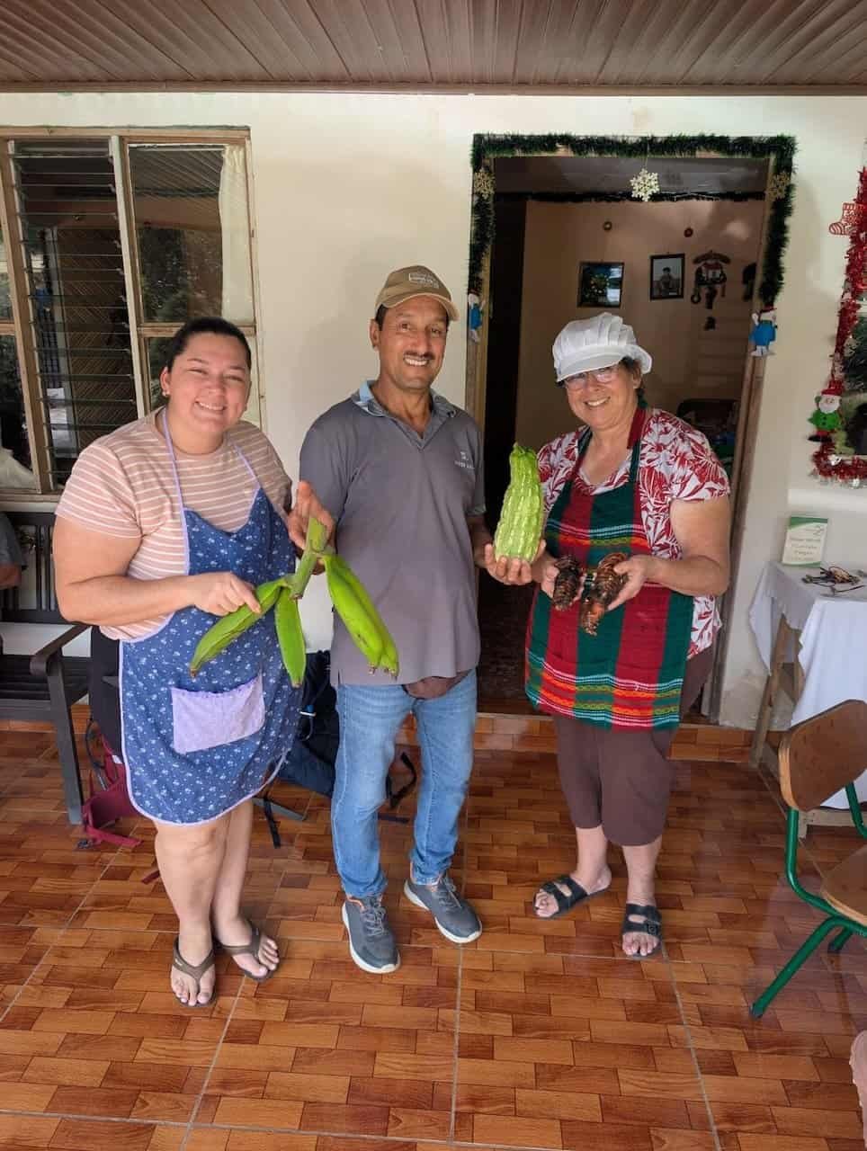
Our in-country guides, XTREKCR, brought us through some of their home territory, with a wonderful snack stop provided by the mother of our Costa Rican coordinator, Fabián. She also packed us an amazing lunch which we enjoyed roadside.
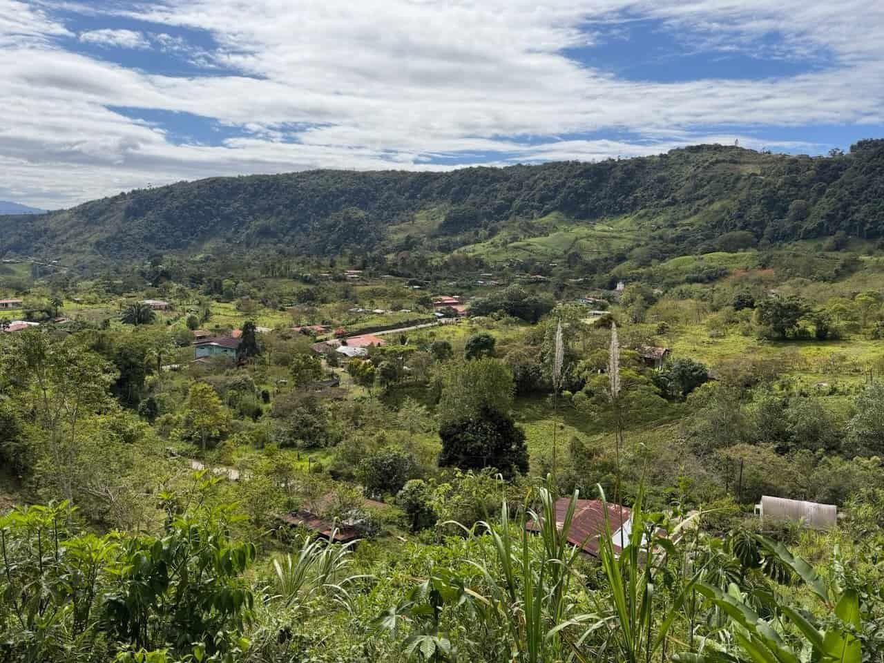
The valley views, including the view of the Angostura dam, were spectacular.
We finished the day at the Siloé Lodge, , where a dip in the cool pool helped sooth aching feet and sore knees. The super friendly team there even offered laundry service!
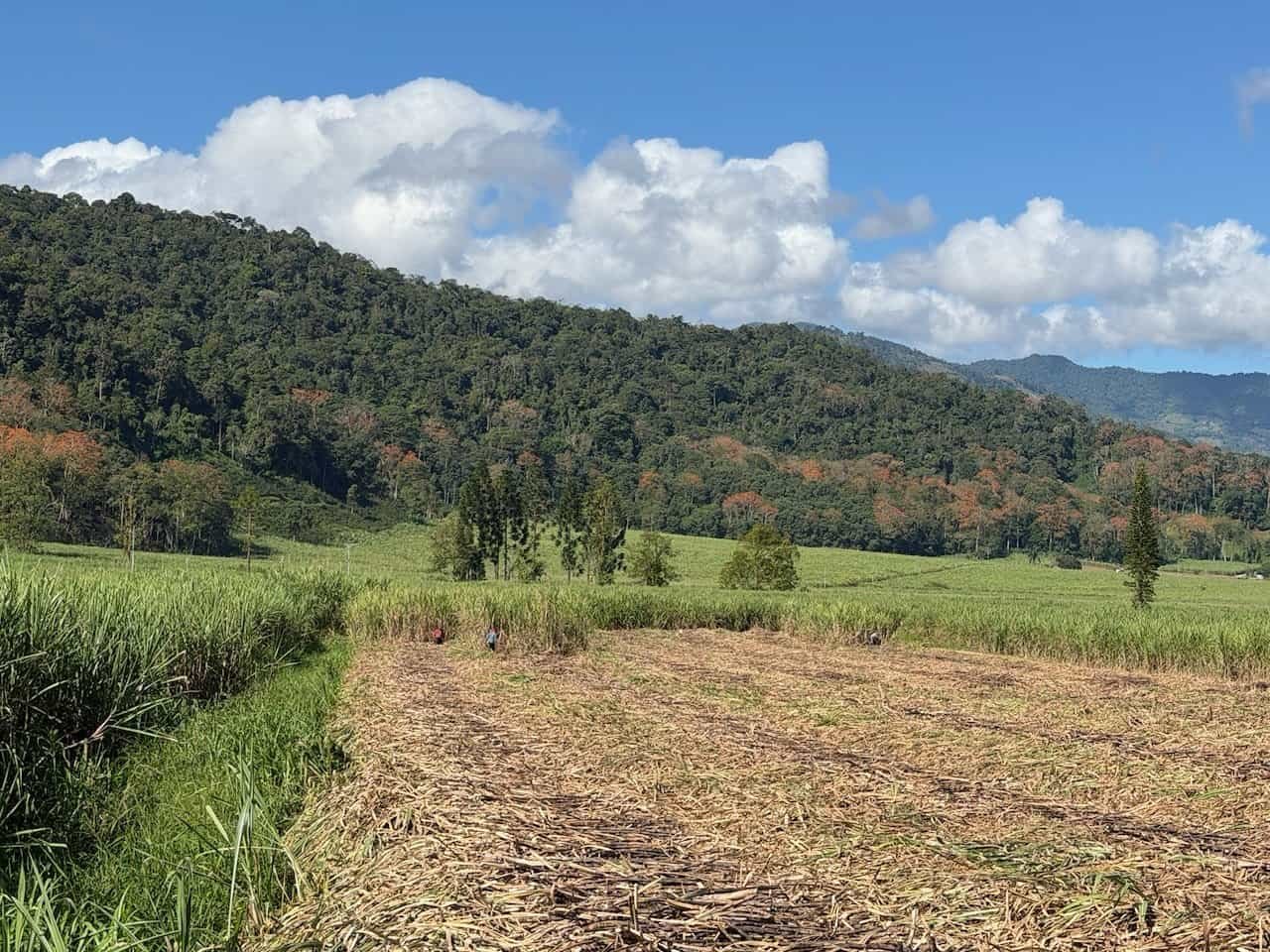
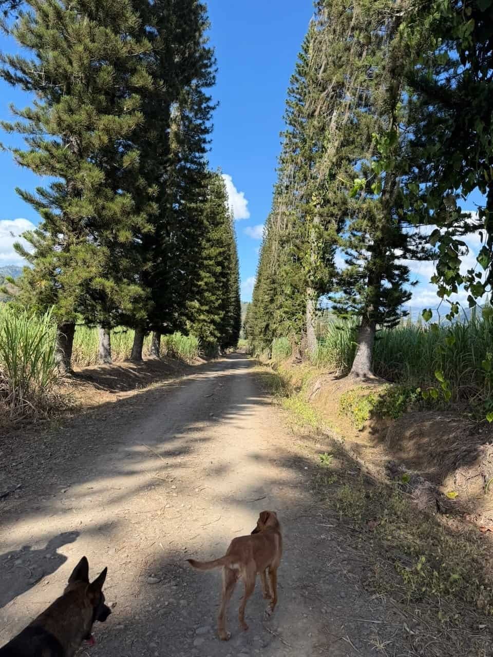
Day 5 – Sugar cane fields and dogs
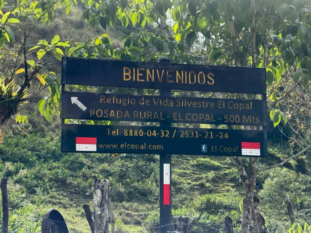
The morning took us through sugar cane fields and coffee plantations, through a wonderful snack stop at ArteCoVa, and on to El Copal.
Along the way we were joined by two dogs, one of which stayed with us all day (our driver took him home at the end of the day).
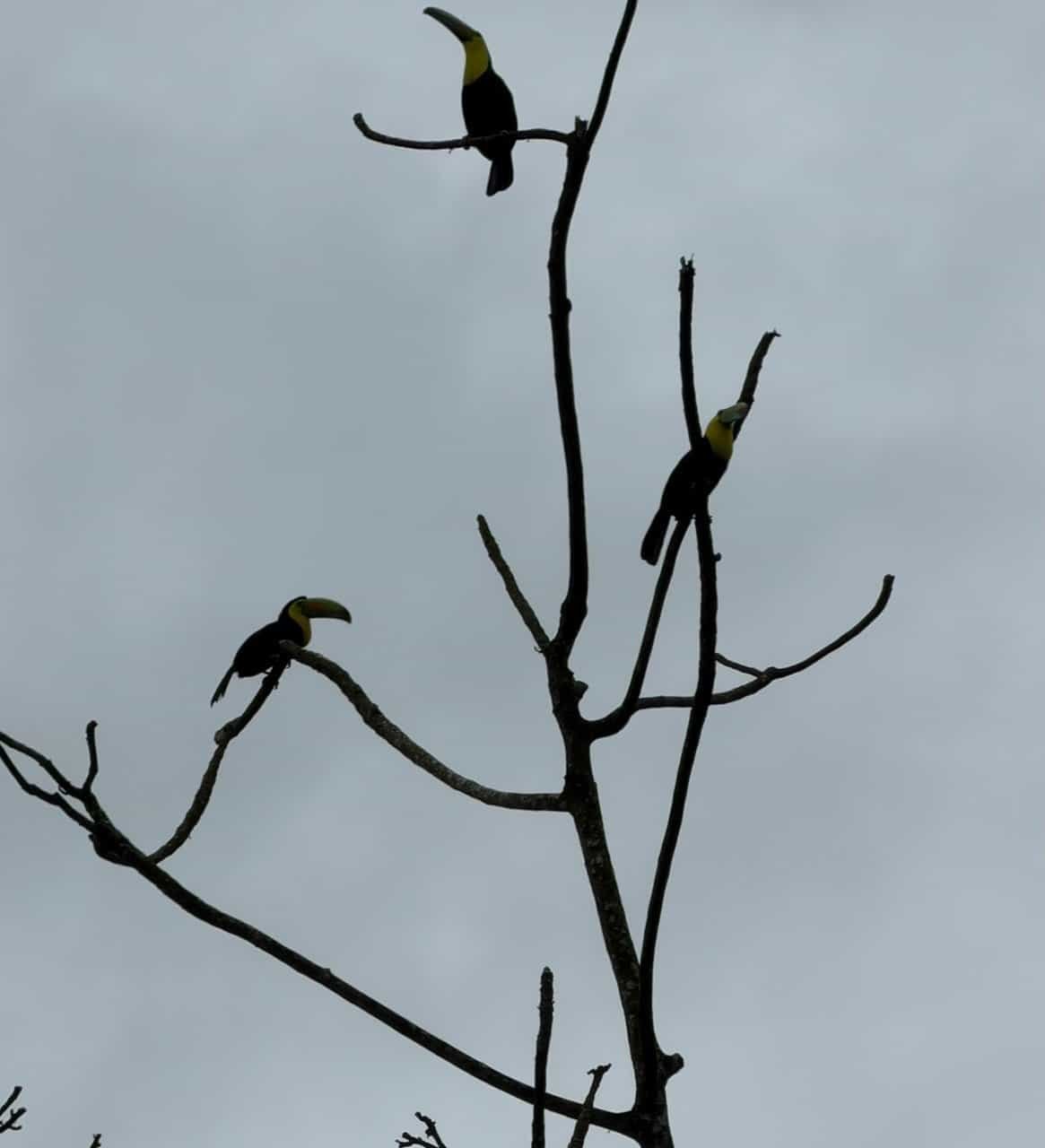
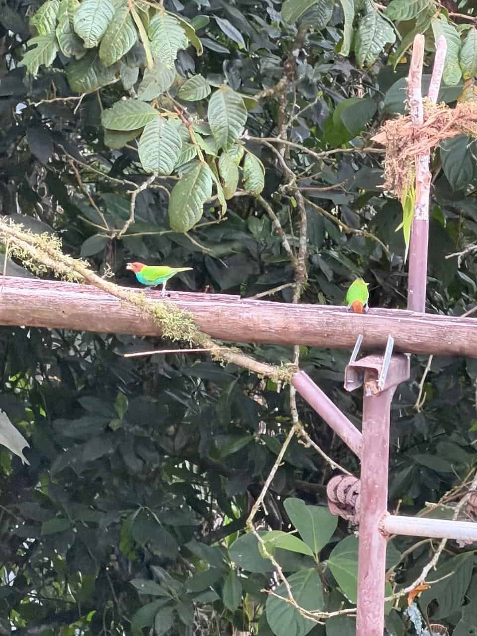
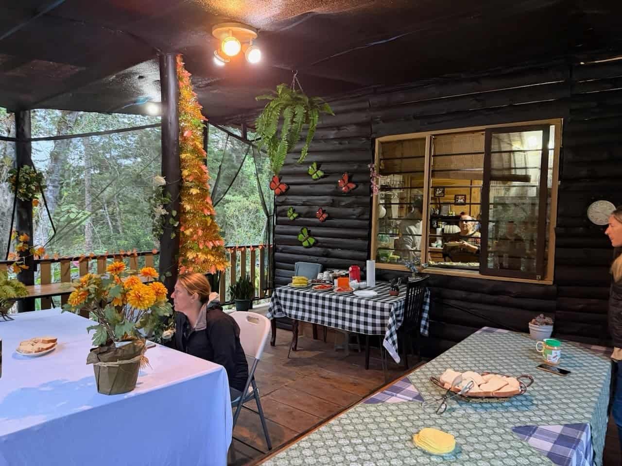
In El Copal we stayed at the lovely Birds of Paradise lodge where birders watched with cameras and giant lenses poised. I noted in my journal that it was stunningly beautiful and my favorite day of hiking so far.
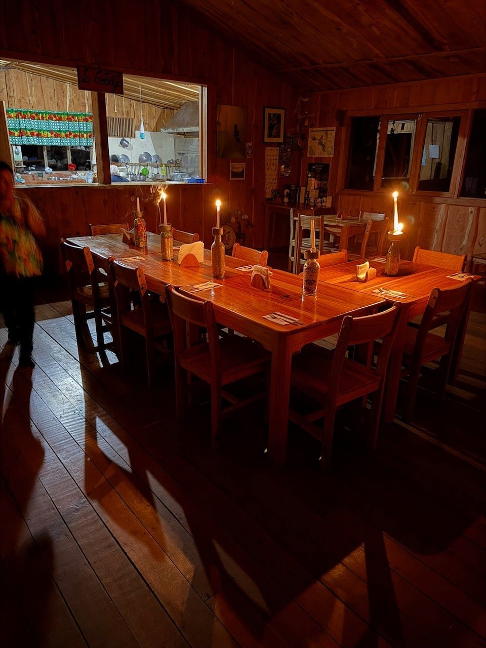
The lodge runs on solar power and we had a delightful dinner by candlelight. A gentle rain started as we headed off to bed.
The day was 23.5 km of hiking, but didn’t feel difficult.
Day 6 – Rain and rancho
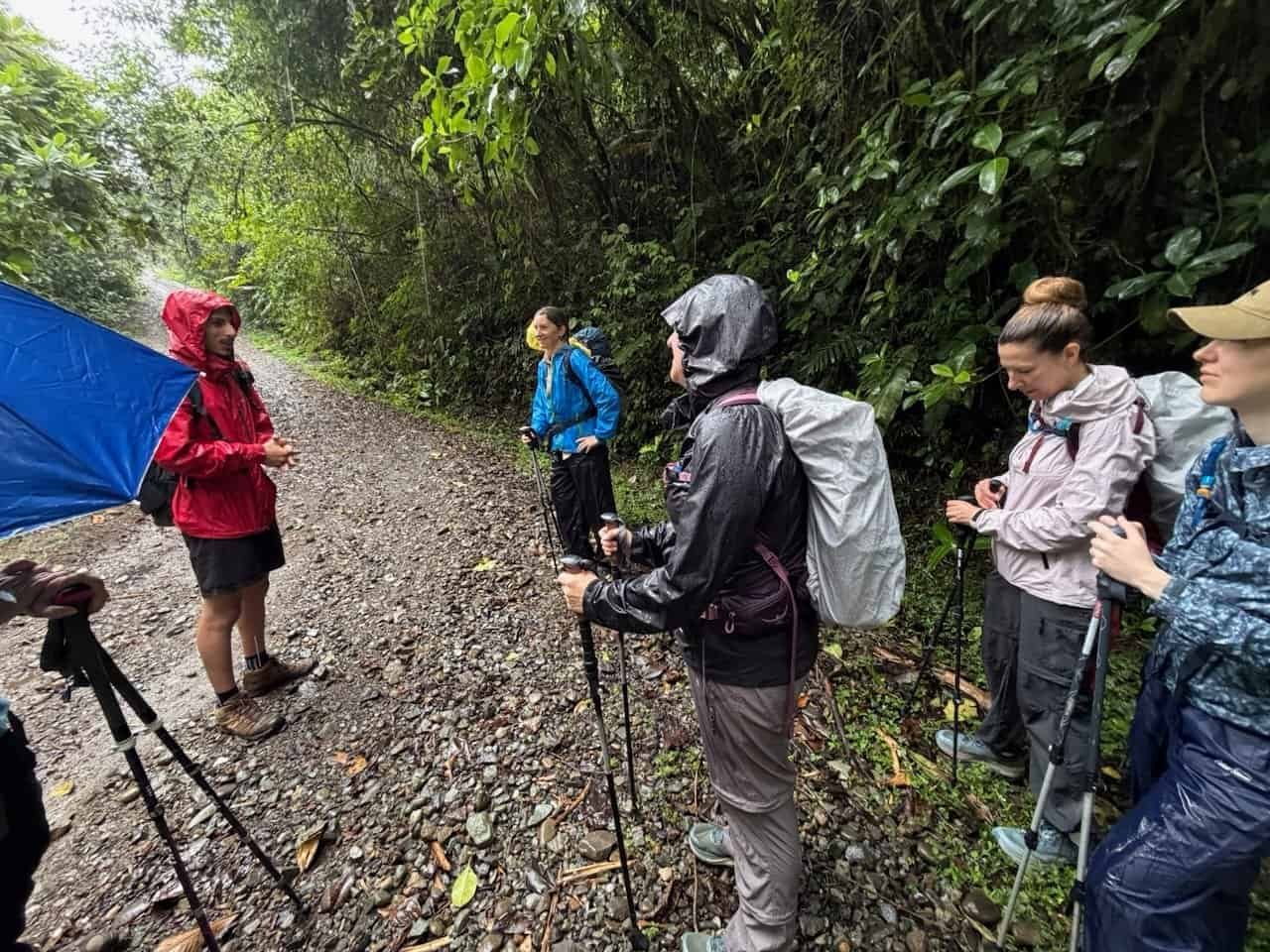
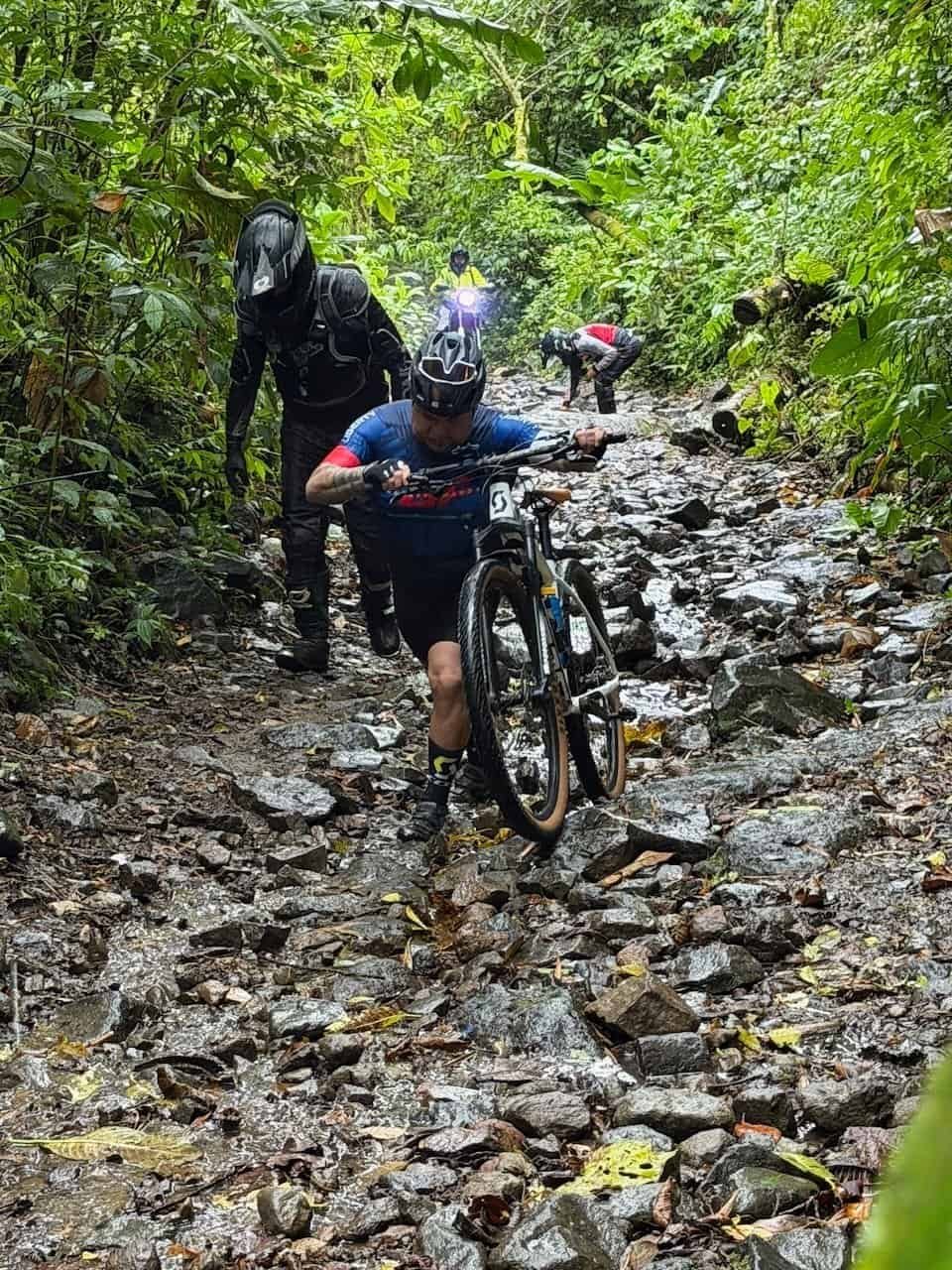
Rain continued through the night and into the morning. It was Saturday and we saw more people on the trail than we’d seen on any day before. There were hikers, bikers, and trail riders heading up the wet and rocky trail. The trail riders provided nice entertainment as we waited for a dozen of them to pass.
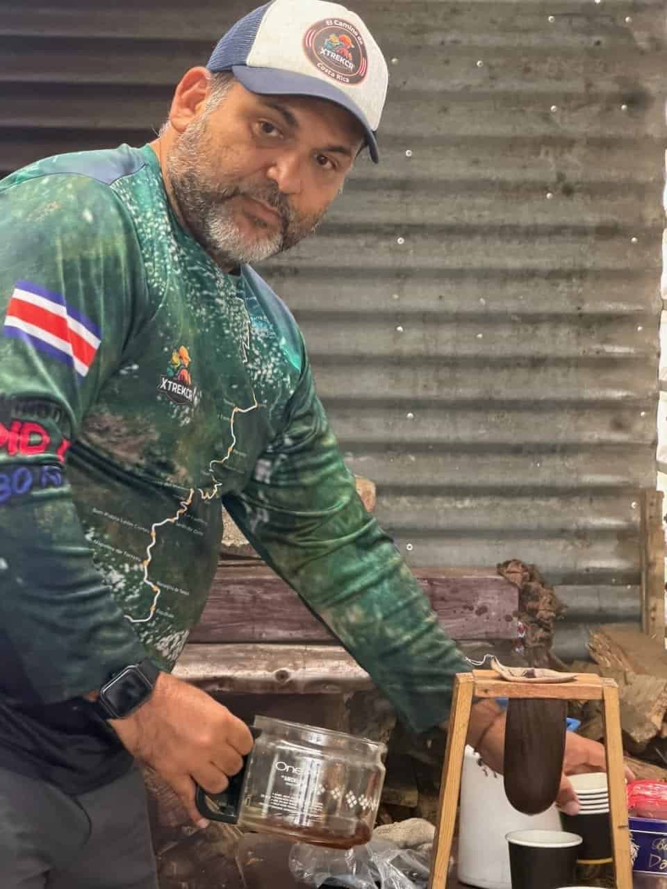
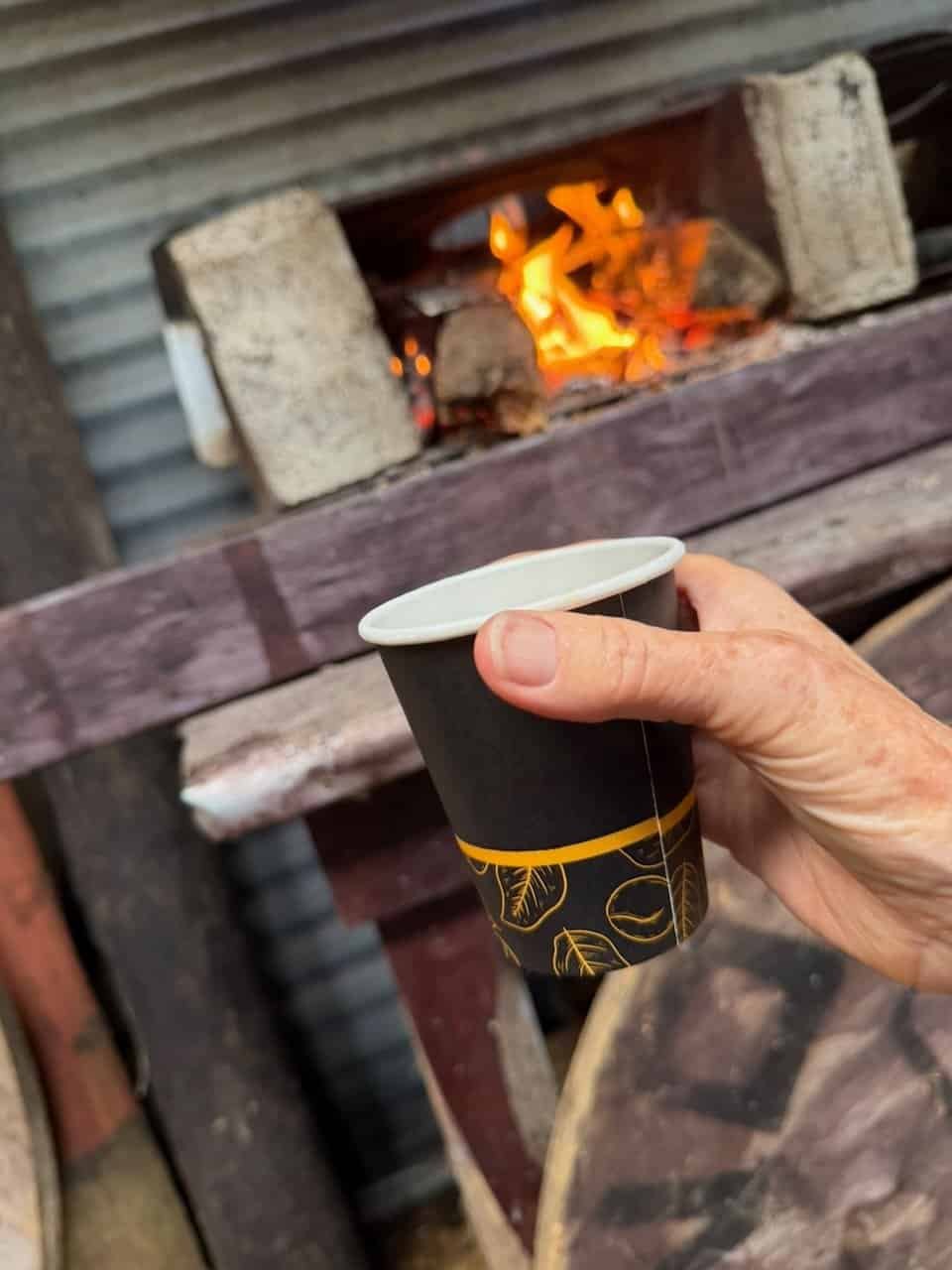
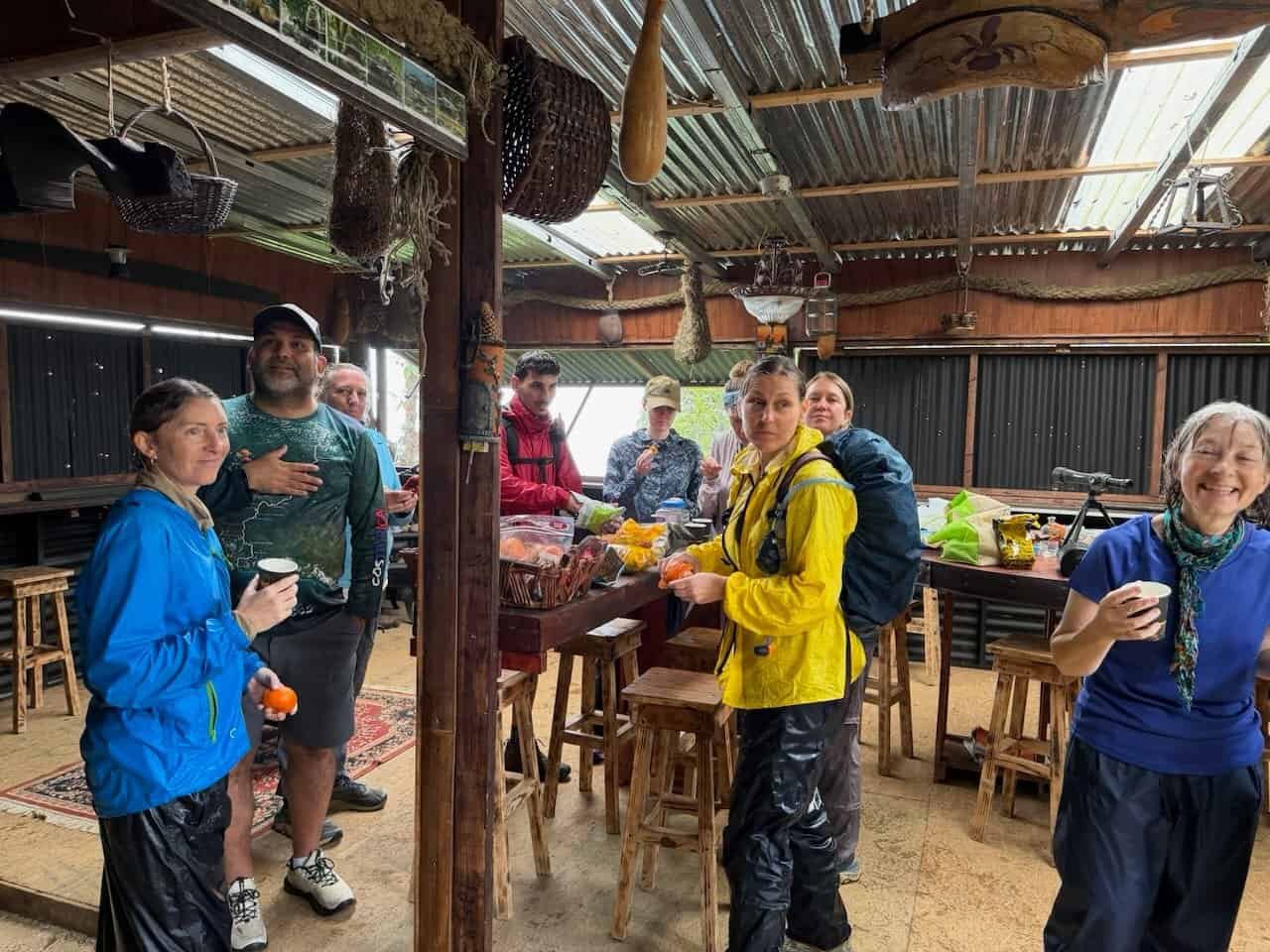
After a few hours of hiking we came up to this sweet rancho where snacks were laid out, there was a fire in the stove and Fabián was making coffee. Best. Coffee. Ever.
The rancho’s owner, Cristian, built the place himself specifically as a rest stop for hikers. It even had a bathroom!
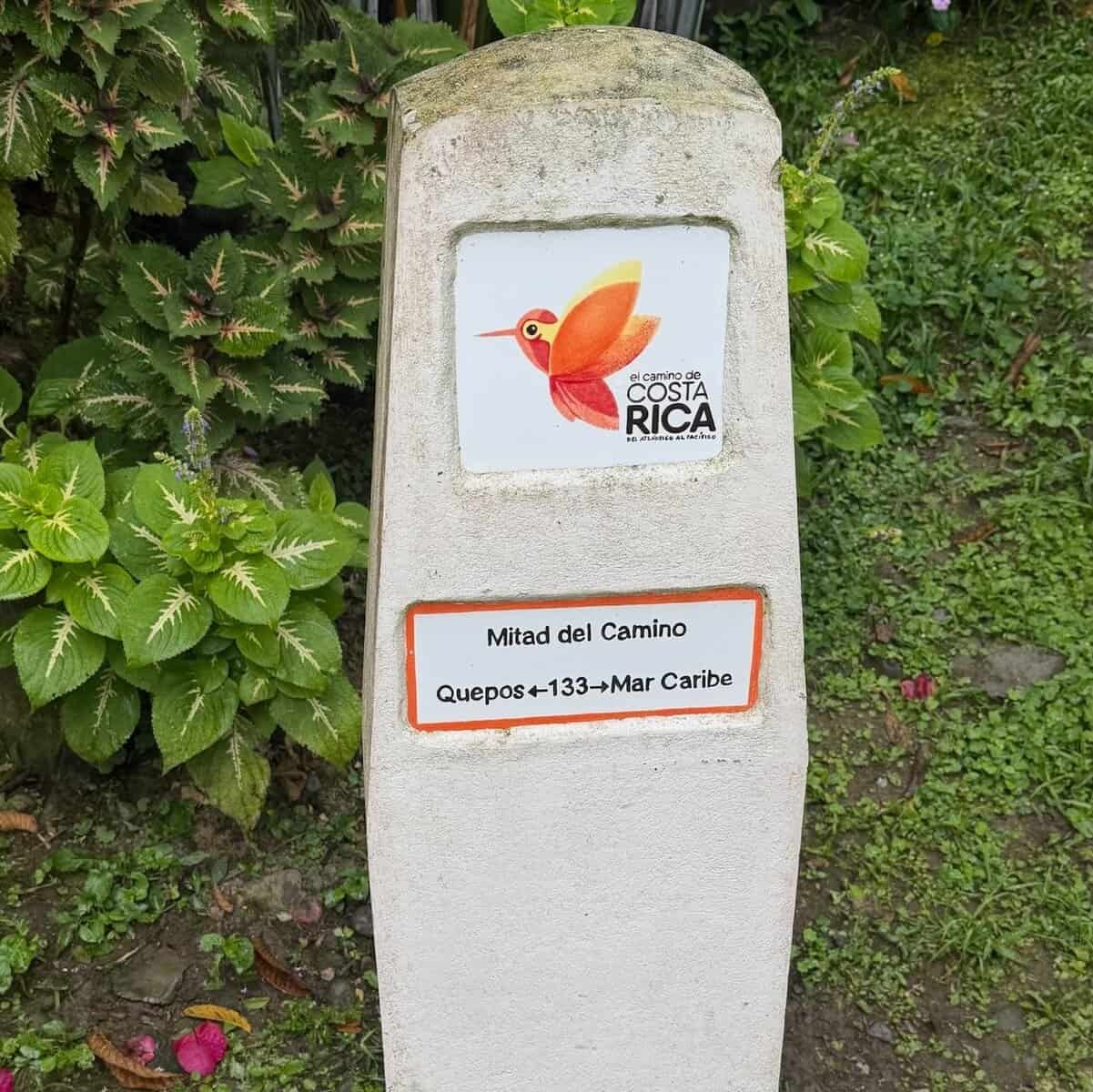
Lunch was at the lovely La Cuchara de Mariana at the official half-way point of the Camino.
This was supposed to be a very long day, but we skipped stage 9 due to a landslide. We were all wet and cold and mostly happy to end the day early.
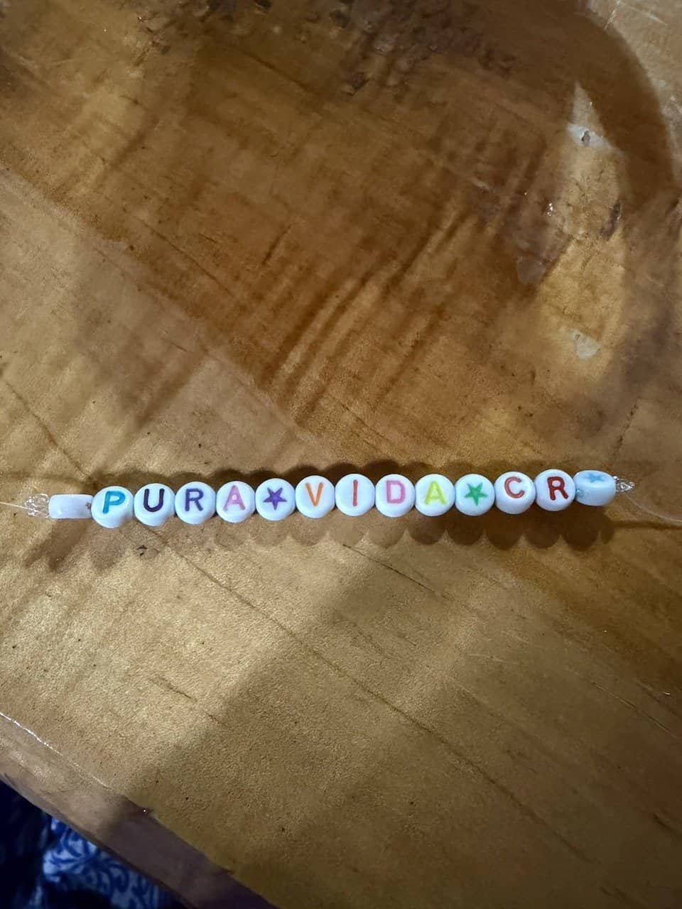
Our lodging for the night was a private home that is available for hikers. The owners leave dinner and come the next morning to make breakfast. It was rustic and cozy, and the perfect spot for us to make friendship bracelets.
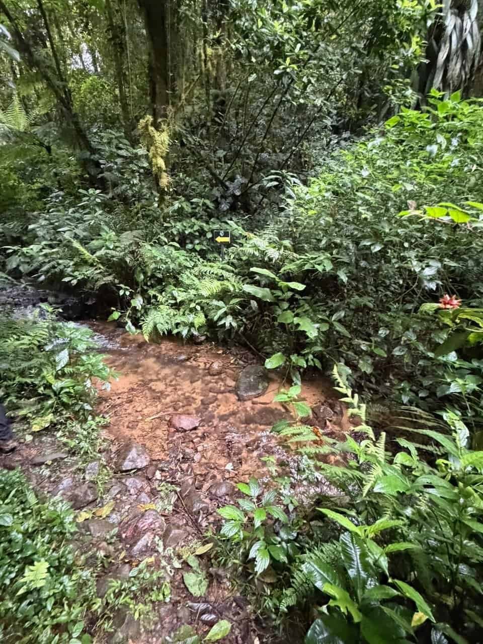
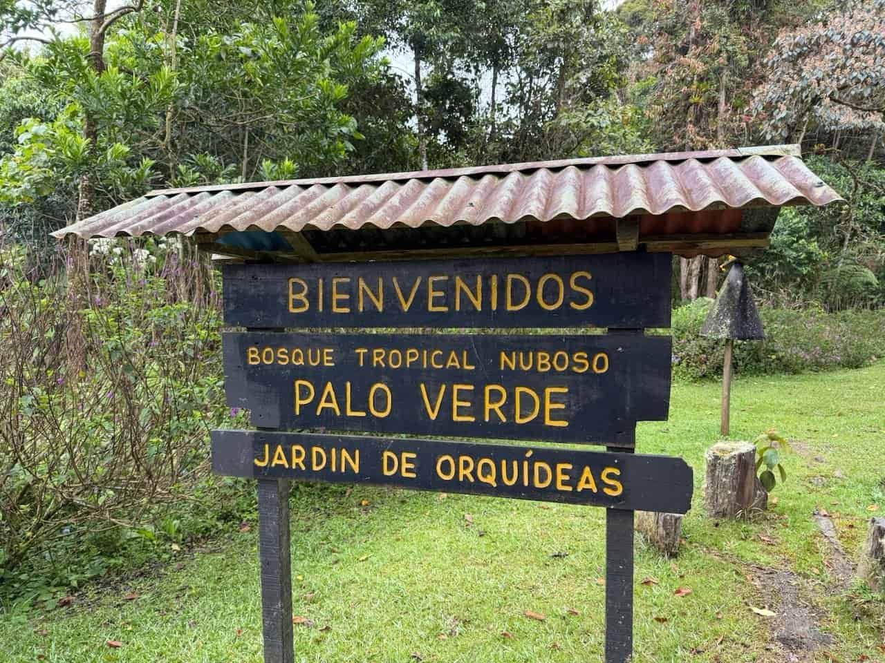
Day 7 – Palo Verde Rain Forest
By some measures this was a hard day at 7.5 hours of hiking and 1500 meters of elevation gain over 20 km. However, this was my favorite day of the Camino.
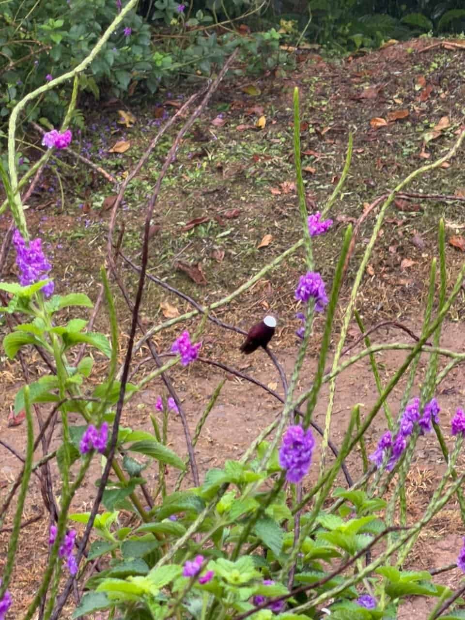
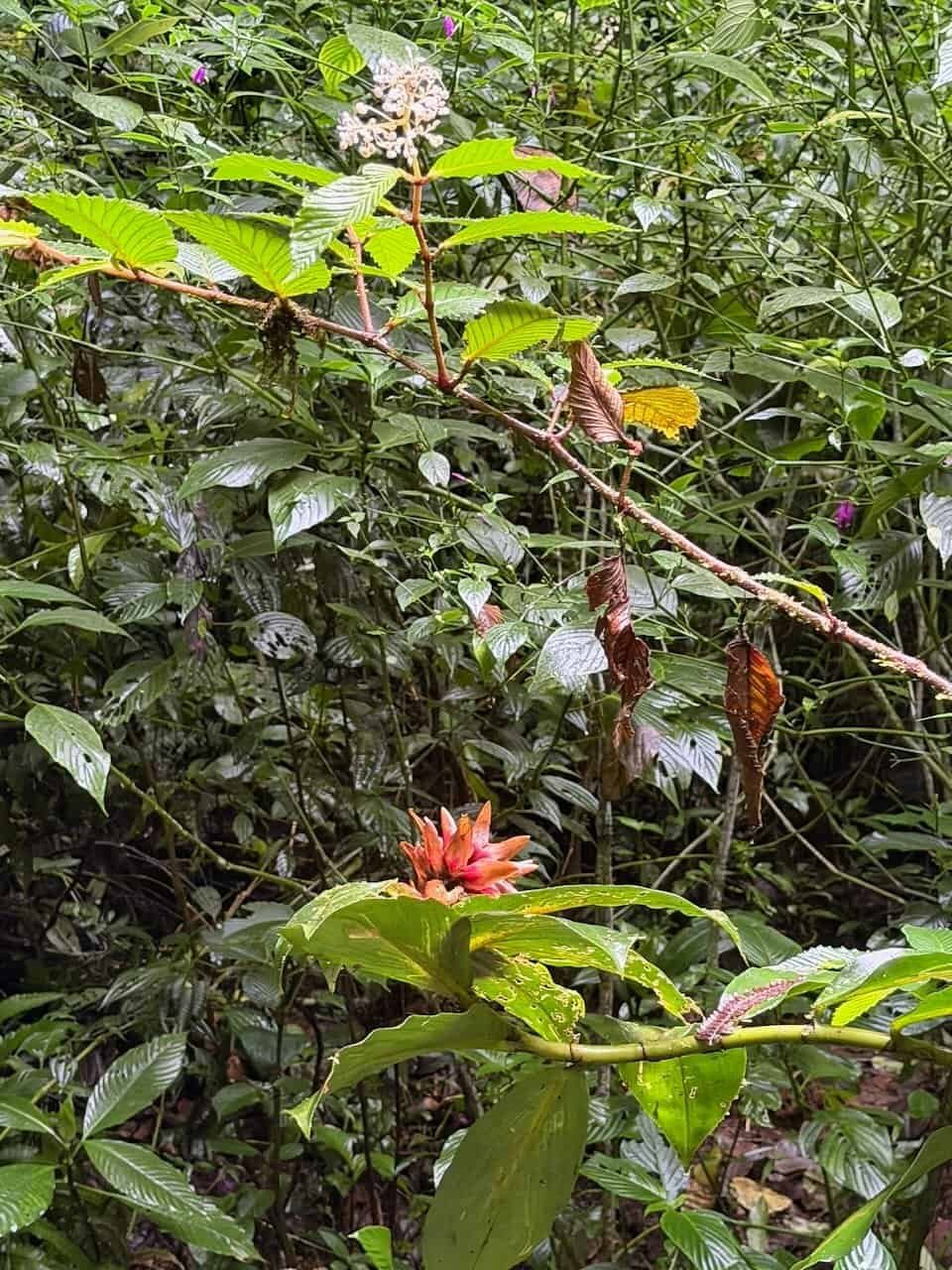
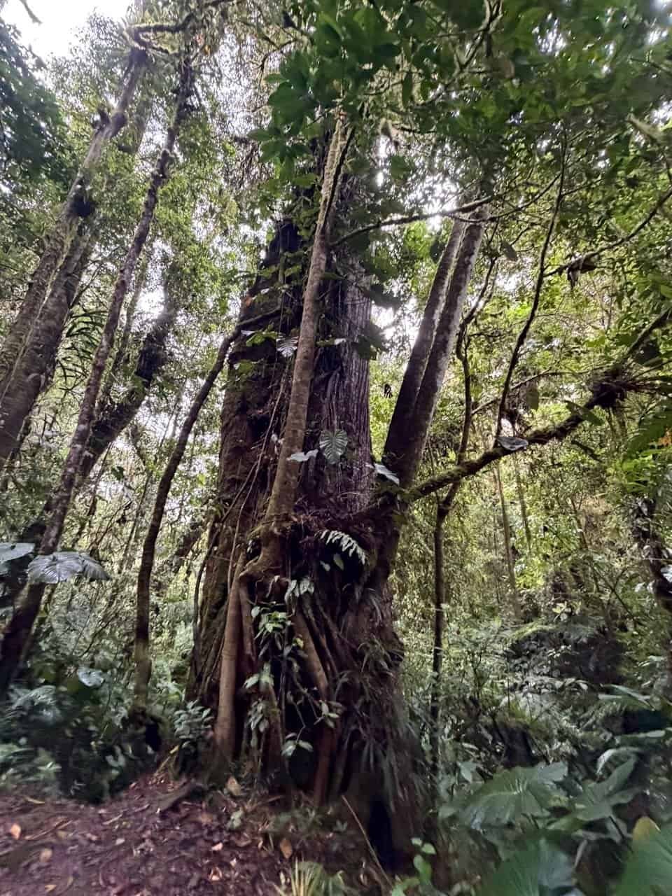
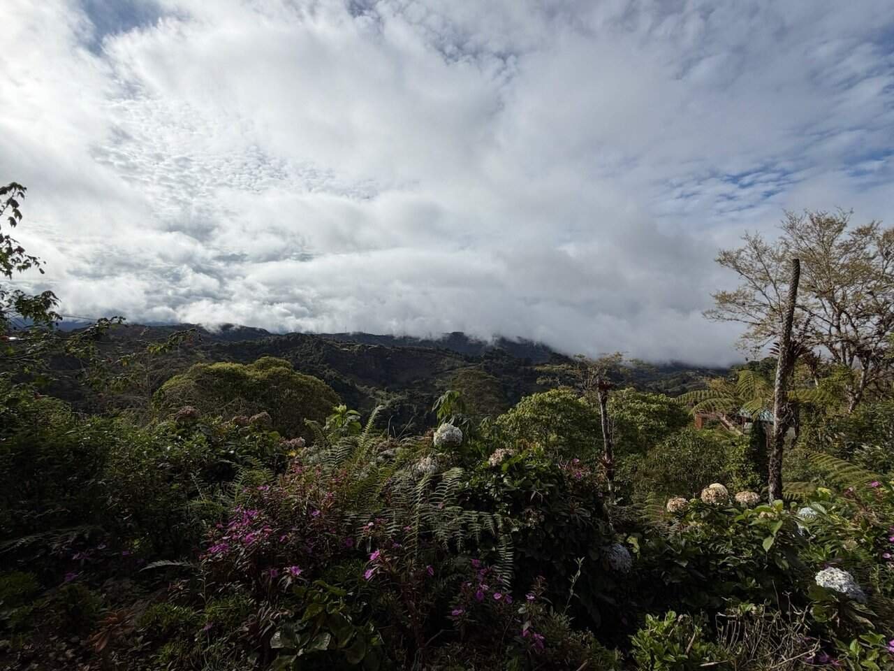
The cloud forest was spectacular. How many time have I written the word “spectacular” in this post? The trail through the cloud forest was a bit muddy, but not difficult. Supposedly the quetzal birds hang out there, but it wasn’t the right time of year for them.
The cloud forest is private and there was some discussion that the organization that maintains the Camino was considering rerouting it to no longer go through this private land. What a loss that would be.
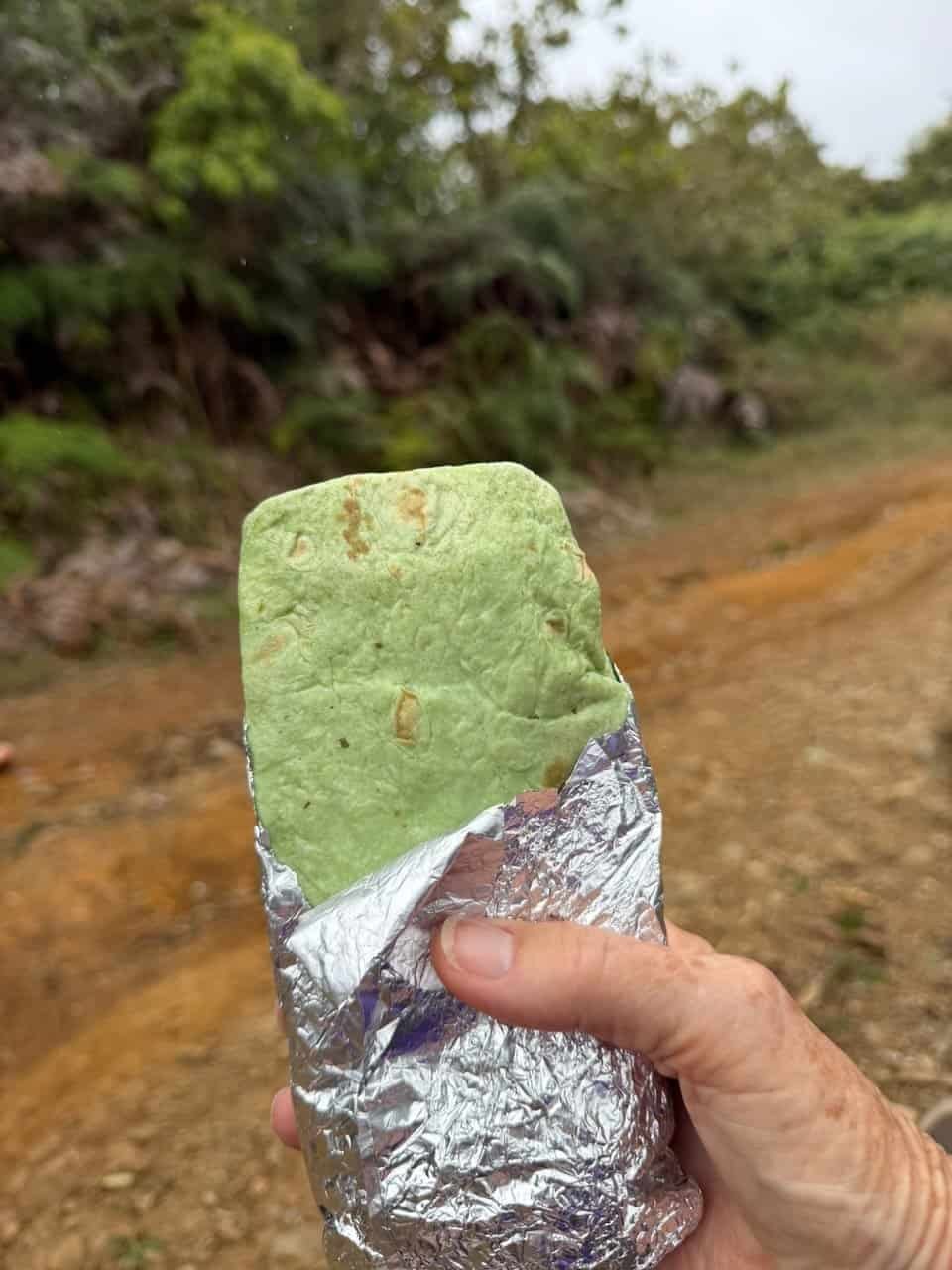
After the cloud forest, the road went up and up and up. We stopped for burritos on the side of the road, then went up some more.
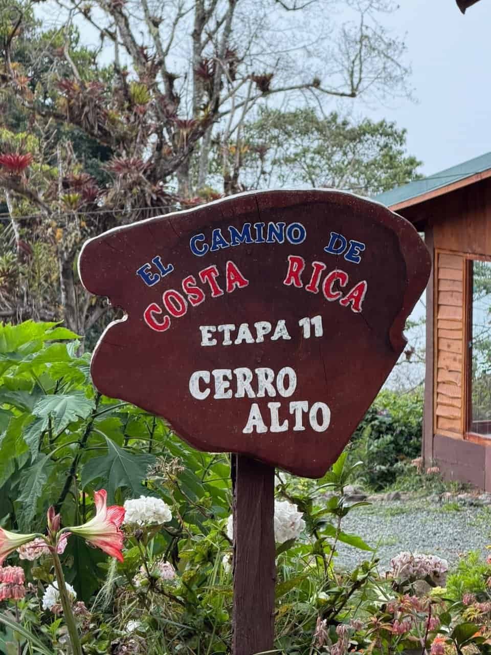
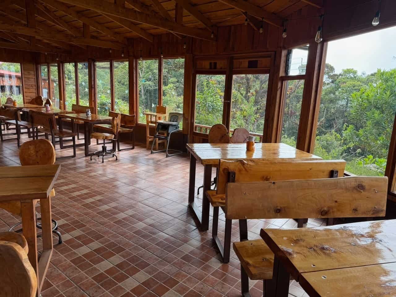
We ended the day at Reserva Natural Privada Cerro Alto, where a fire in the stove and hot chocolate helped warm us in the mountain air. The cabins were lovely but the wind was howling and oh so cold.
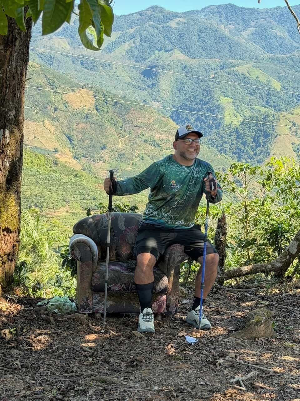
Day 8 – Coffee and descents
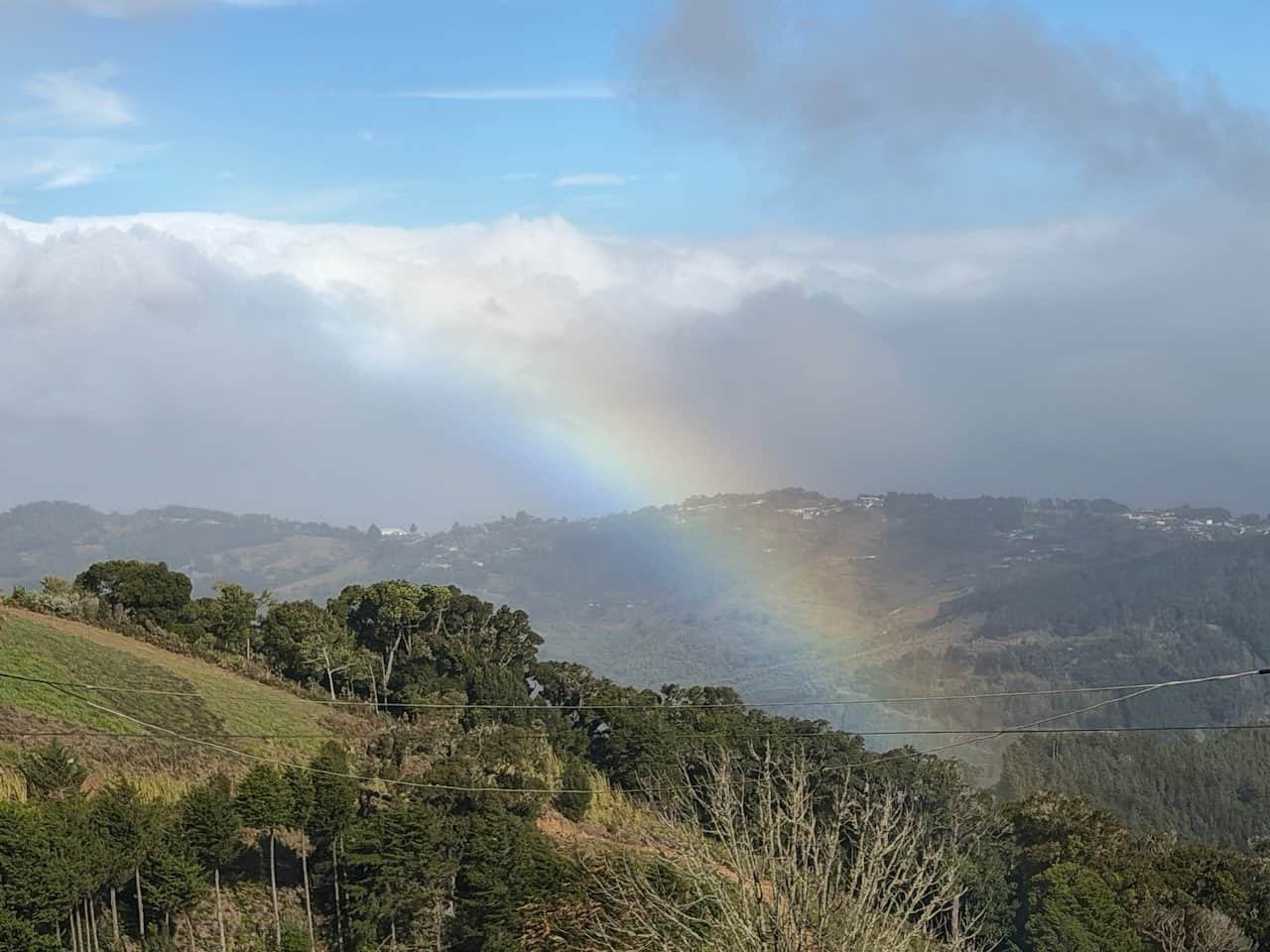
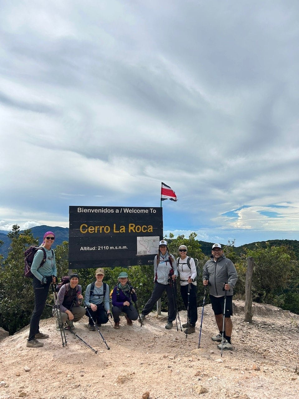
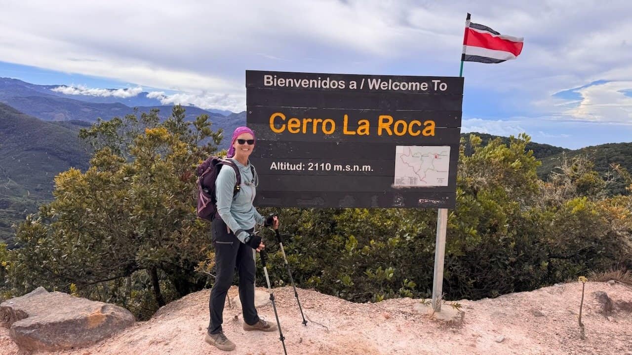
We set off through villages toward the high point of the Camino – Cerro La Roca at an altitude of 2110 m. On the way we were greeted with a rainbow that stayed with us for a few miles.
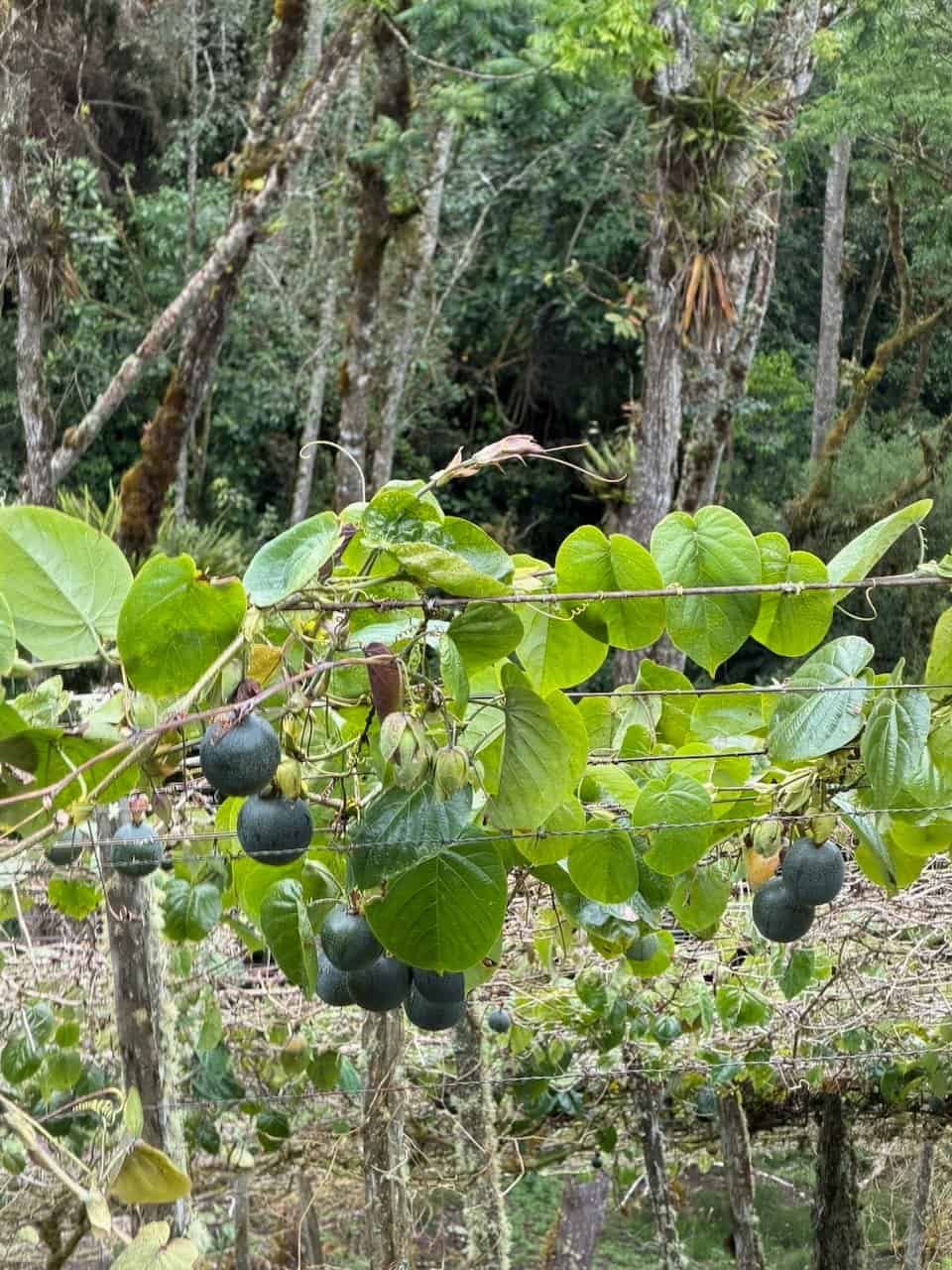
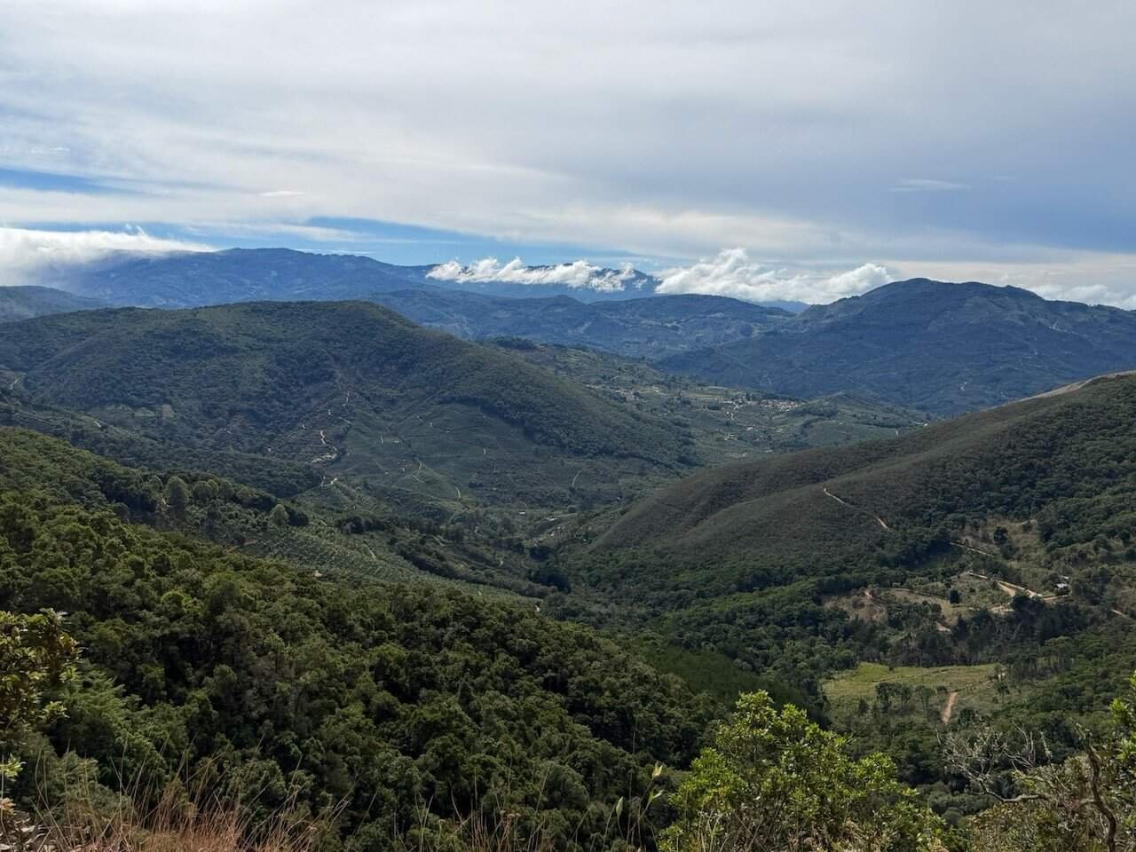
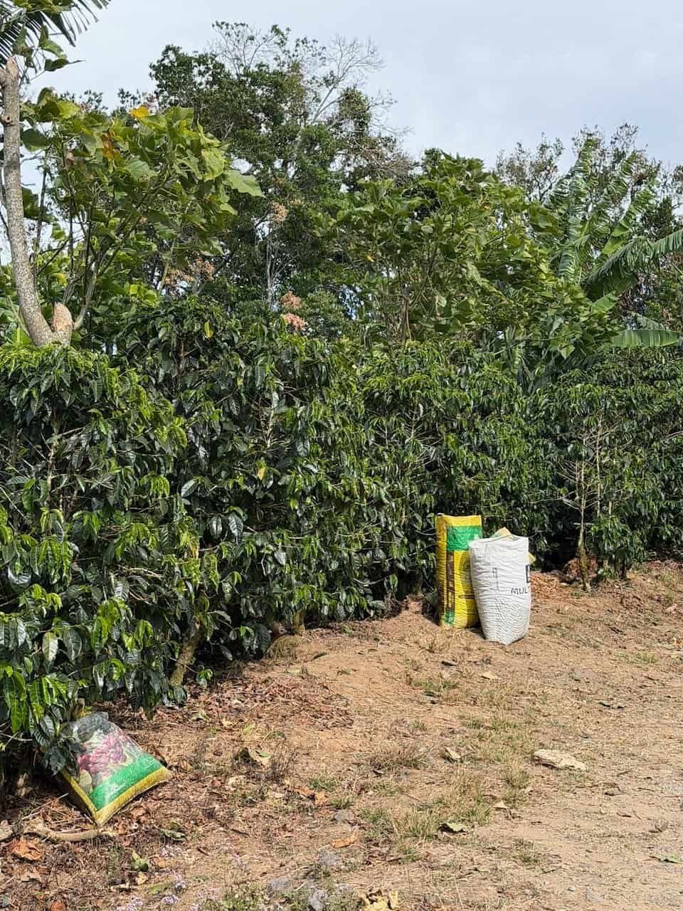
The morning was mostly gentle downhill (about 1200 m altogether) meandering road through forest. After lunch we went up some significant uphill sections and then through high coffee plantations. The coffee harvest was in full swing as we walked through.
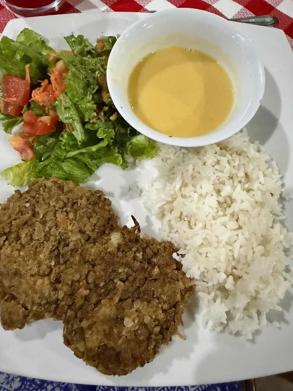
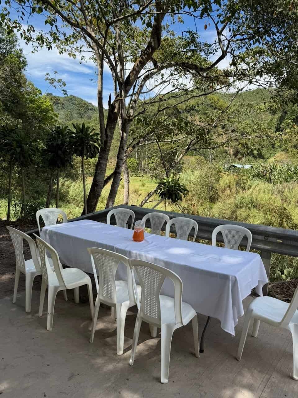
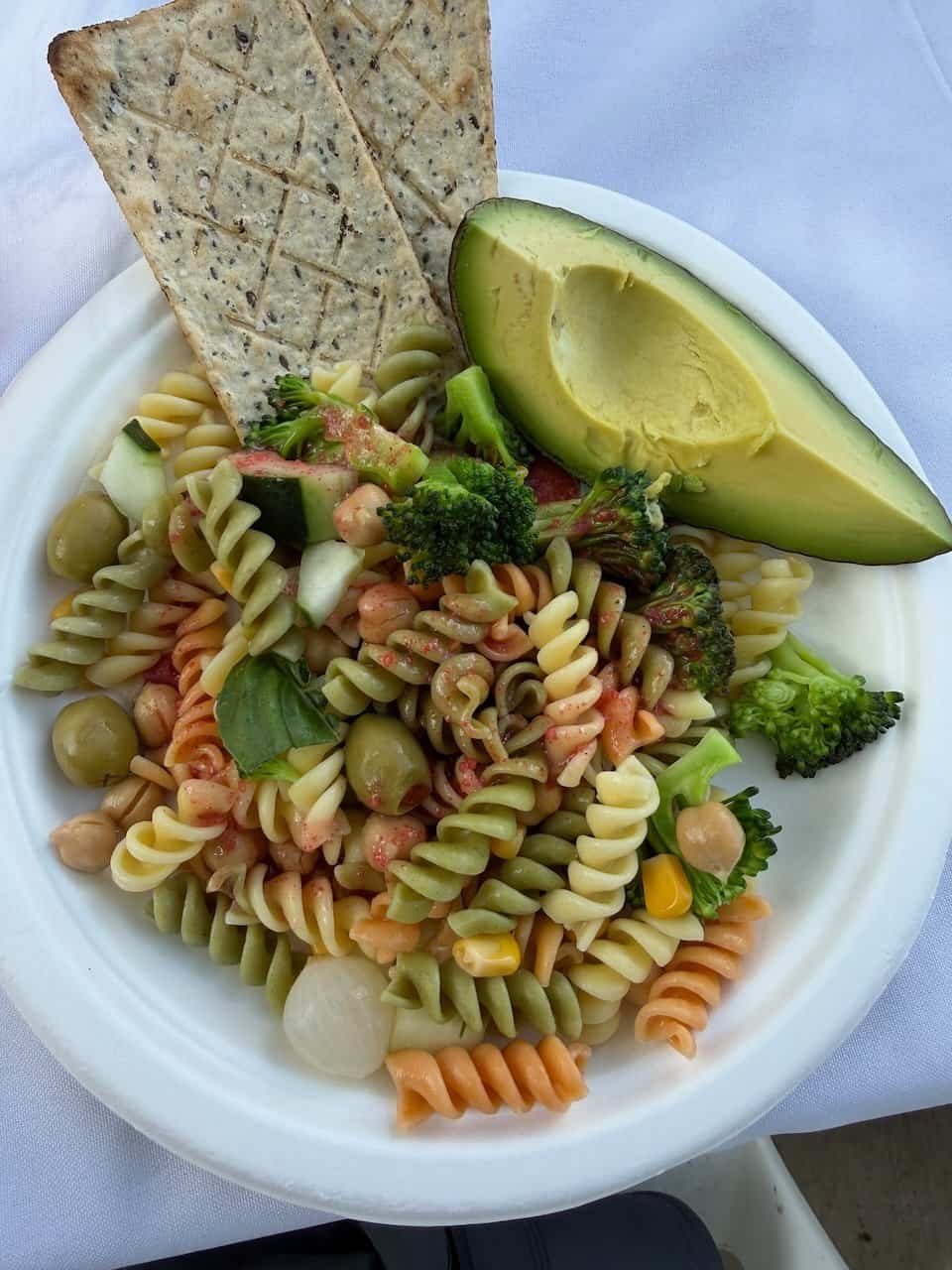
Lunch was extra special, with a table set up on the road near a river. A local chef provided our lunch with the best pasta salad I’ve ever eaten (topped with a strawberry dressing that was, as Emma warned us, life changing).
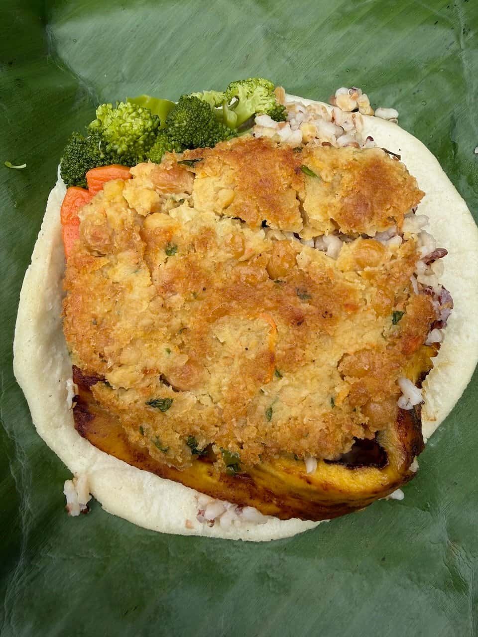
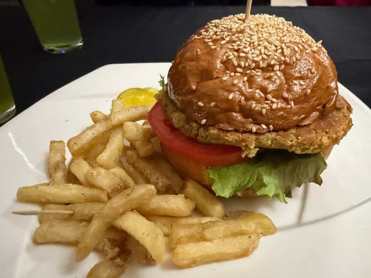
The same chef prepared our dinner at his event location: the best garbanzo burger and fries ever.
Day 9 – Down, down, down
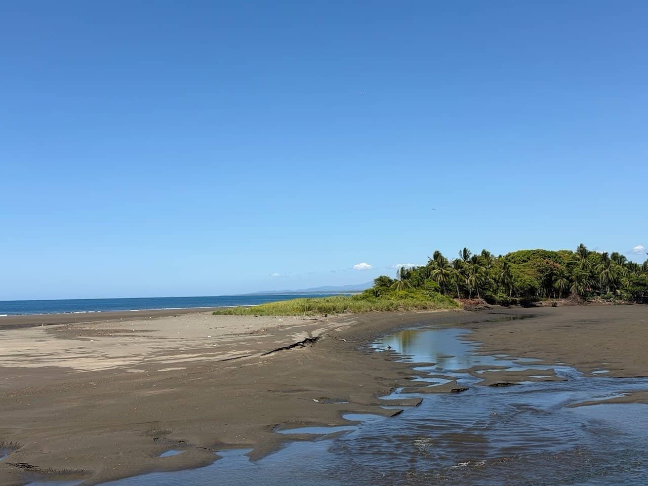
The day started with long gentle slopes on an easy clay road. It didn’t take long before we could see the Pacific.
As the day went on, the road got a bit steeper. We went down about 1600 m over 27 km for the day. For me it was the second hardest day of the Camino. I was behind the group on most of the downhills, and I am grateful to Fabián for walking with me and encouraging me.
The weather got warmer as we descended, just an indication of the warmer weather to come on the final day.
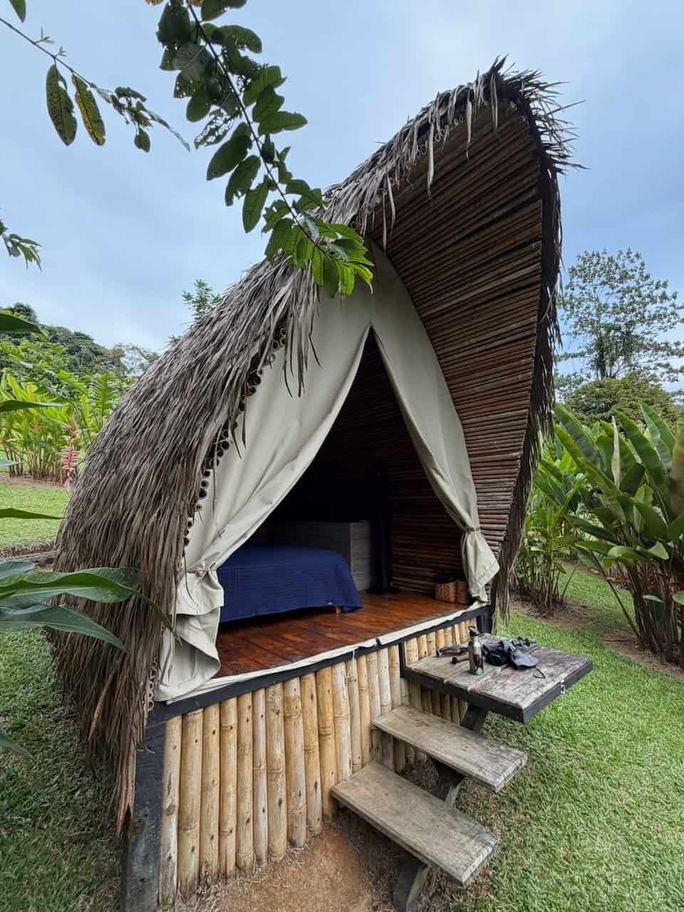
We stayed at the amazing Esquipulas Rainforest. It was the first time we stayed someplace with other hikers. The adorable huts/tipis we stayed in were the most unique accommodation of our trip.
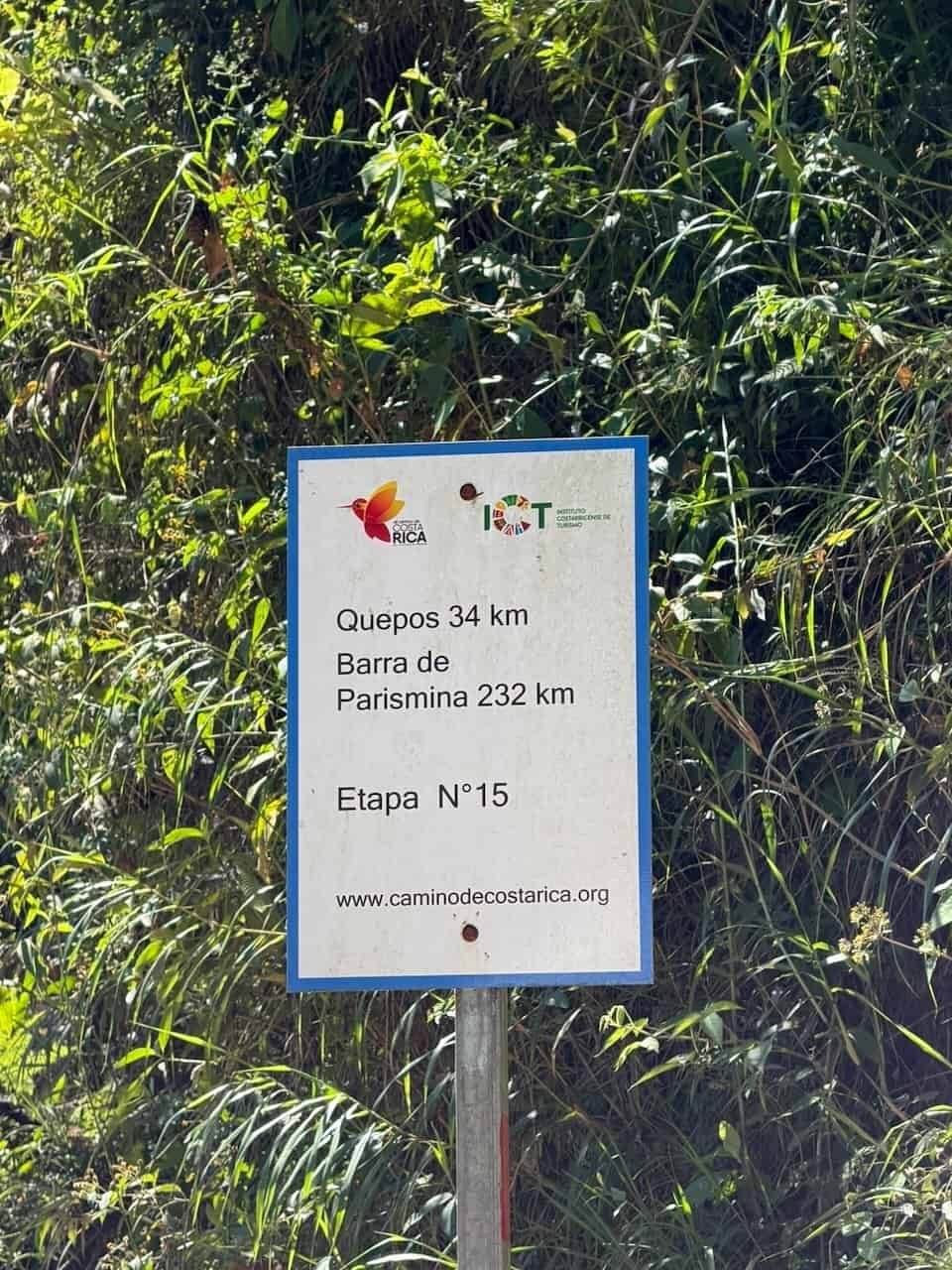
Day 10 – Done!
We got up early, with breakfast at 5am and on the trail by 5:20. It was beautiful hiking under the light of a nearly full moon, The goal was to beat the heat of the coastal plain.
The middle part of the morning took us through palm plantations. The final 5km are on roads and very hot.
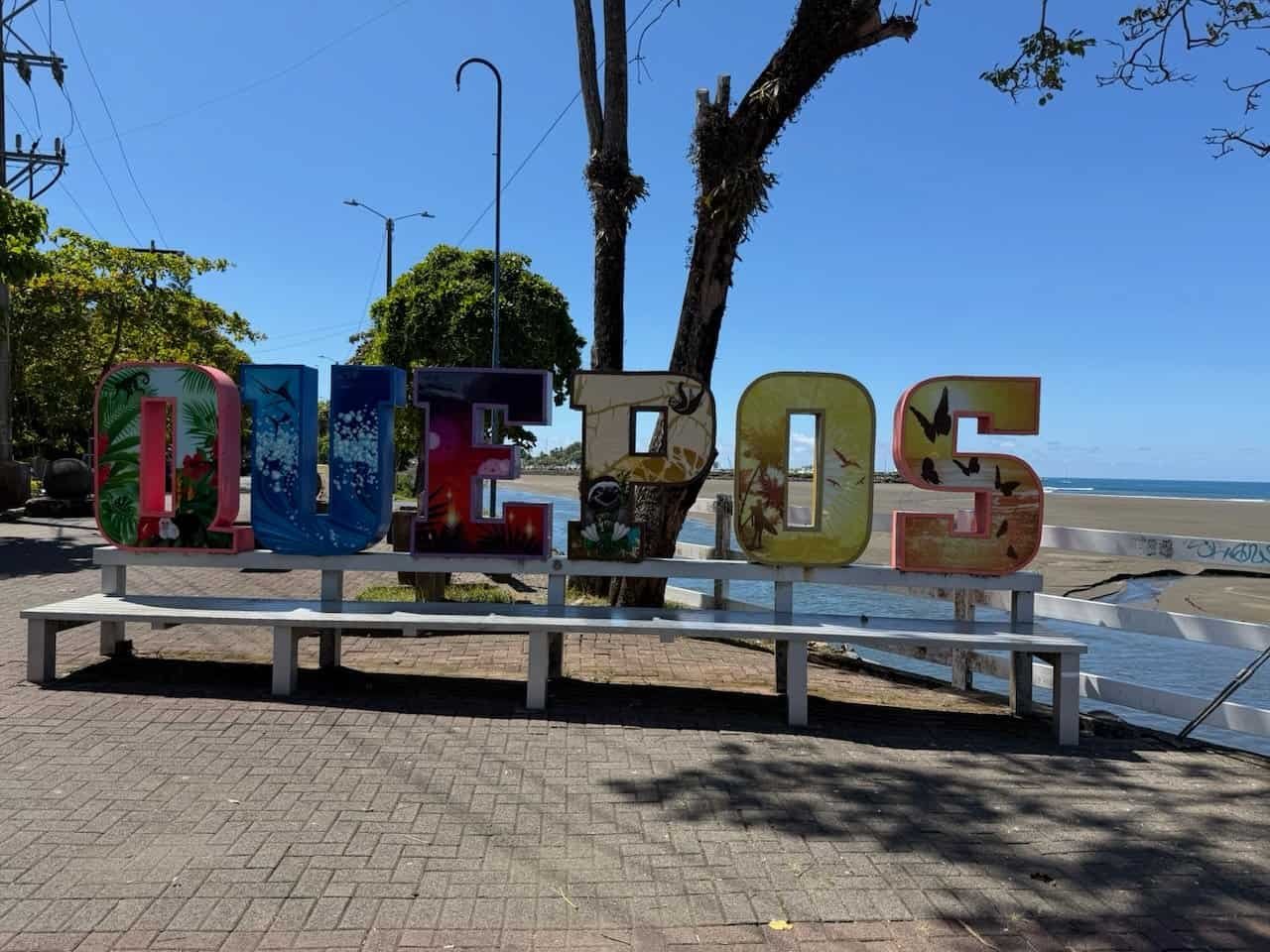
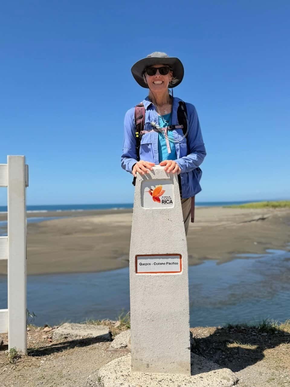
Overall we walked nearly 23 km over five hours of hiking time. We got to the Quepos sign at 11am.
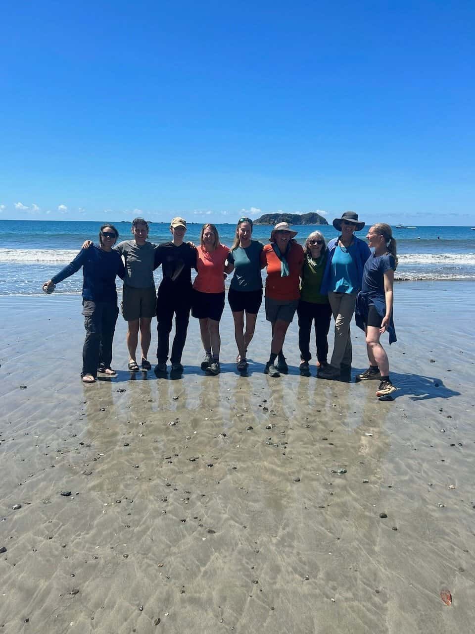
We hopped into the van and drove to Manuel Antonio to a beach where we could touch the Pacific. It hardly seemed possible that we had walked across the country in 10 days.
We celebrated with an amazing lunch at the Manuel Antonio Falafel Bar.
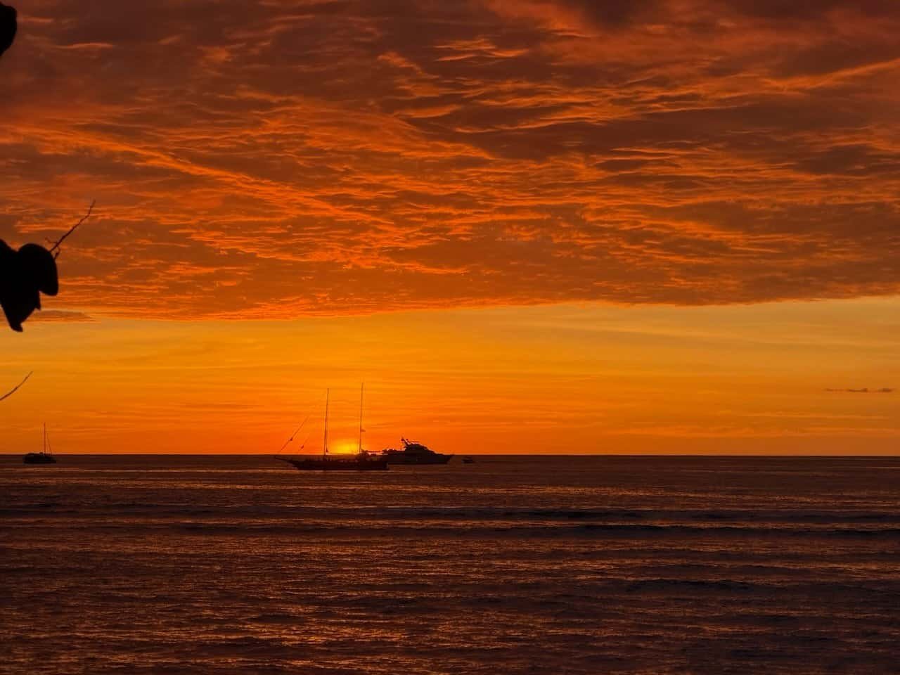
We could finally relax, hang out in the hotel pool, watch the sunset, and prepare for the next morning’s trip back to San Juan and the airport.
Final Reflection
Since I returned home, people have asked whether the hike was fun and whether I would do it again.
Fun is not the word that comes to mind when I think about the hike, though certainly parts of it were fun and we laughed a lot. Overall it was beautiful, rewarding, intense, and hard. I don’t know that I would do this hike again, but I will absolutely be doing more long distance hiking. In fact, I’ve already signed up for Emma’s Mexico hike in December.
A journey like this brings out different joys and demons for each person: some physical, some mental, and some emotional. My own demons certainly reared their ugly heads on a couple of days. My extreme introversion made being with a group nonstop for that long my biggest challenge.
In the end, I completed the hike and did better than I expected in spite of my introversion, crunchy knees, and fear of downhills.
One of the important aspects of this hike was that we were a group hiking together. We encouraged one another, laughed, and reveled in the food together. A group of individuals that didn’t know one another at the beginning finished as a team and as friends.
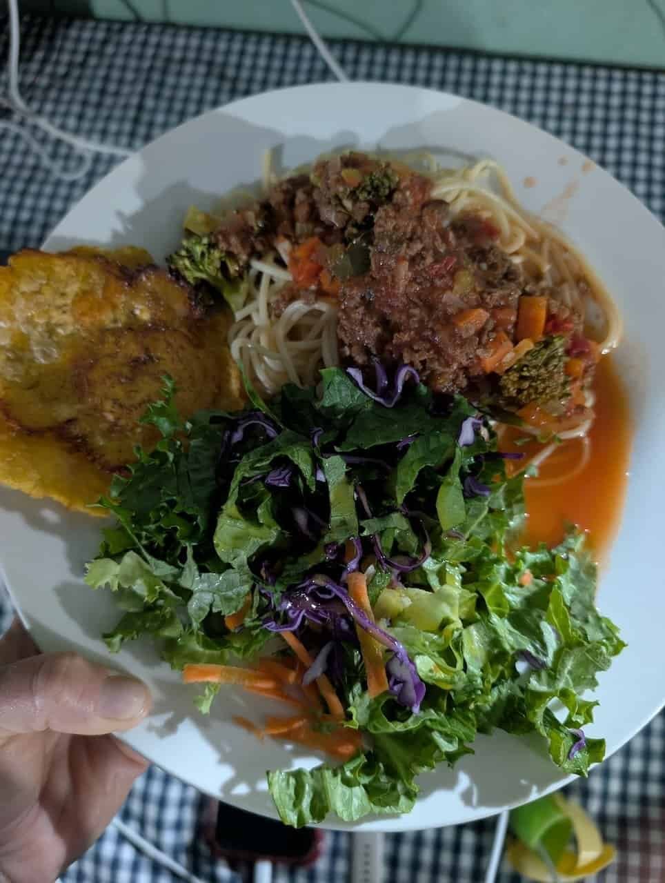
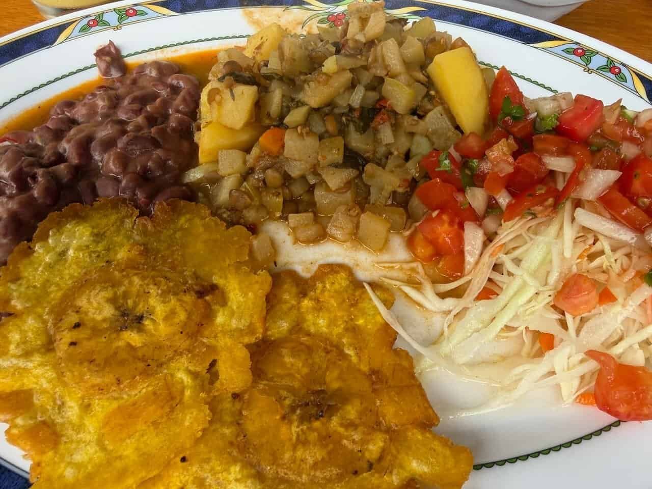
And the food was fabulous.
Share this post!
Traci! You really did a great job fleshing out your hike through Costa Rica with your descriptions and photos. The captions, especially, really help! Thanks for taking the time to do that! I often see people’s posted photos and wish I knew where they were taken. I’m wishing you good luck on your hike in Mexico! (And I’m super proud of you taking on these knee-challenging hikes! You are truly an inspiration!)
Thanks for your feedback, Lee. Much appreciated.
Traci, this trip looks amazing! Congratulations on finishing it in what seemed like record time. Well done! I loved reading about your experience and seeing all the wildlife and delicious meals!
Thanks, Janet! I think you would really enjoy this hike!
Traci- Wow !! Your documentation of this trip was just fantastic. It’s the best travel log you have posted…EVER! ✨
. I really enjoyed reading it !
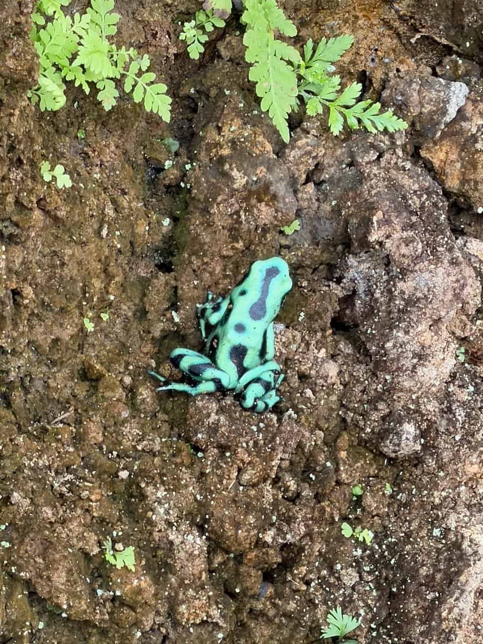
Your photos and Your captions on each photo was a delight . Although not exactly fun, it certainly was an exciting adventure ! I got to llive vicariously through your images and words. You totally did justice to th thrip and I loved reading it. You are amazing! The poison dart frog dart, the rickety Bridges, the cold, rain and wind.
No no no n by
I’m so glad you enjoyed reading it. I did have more emotionally invested in this adventure than I do in most trips 🙂
Amazing storytelling, friend! 🥰🍄
Thanks!
Thank you for chronicling your journey, Traci.
You are a beautiful writer. Congratulations for going and for completing this walk. Your descriptions especially of the food- (the strawberrry sauce sounded interesting) and of the entire experience allowed me to have a sense of your trip. What a big moment.
Brava, Brave!
Thank you so much! We are trying to duplicate that strawberry dressing!
Wow! What an amazing trip! Thanks so much for letting me live vicariously through your blog. Cheers!
So glad you enjoyed it!